Are we lost again?


[Thursday - June 28, 2007]

It's the three amigos again.  The fourth amigo is having front suspension problems and had to bow out of the Lockwood ride at the last minute.  Poor Russ is now without a bike for the next week or so until he takes his front forks back to Stig for an inspection.  Russ had his R1's front shocks rebuilt just last year and unfortunately he's experiencing a slimy front from the experience.  Hopefully the suspension oil hasn't leaked onto his break pads otherwise he'll have to replace those too.  Oh well, it's next time for the fourth amigo.

We have never done the Lockwood ride before so this will be new territory for us.  Minh had researched the route and found out there is potential for a stream crossing with 1-2 inches of water.  That should be OK so long as it's not a fast current and we take it slow.  What the heck, this shouldn't be a problem.  Why?  Because up until now I've done more off roading on the R12R than the R12GS.  What's funny is the R12R seems very sure footed compared the R12GS.  I think it's the fact that I can track the ground and be effective about it (e.g. flat footing).  Oh the irony of it all.


[Friday - June 29, 200]

I finished my route plotting and downloaded the information to the StreetPilot (BMW Nav III).  I should have previewed the route instead of assuming everything is fine.  If I had done that, the title of this article would have been different.  I decided not to lug the Hi8 with me tomorrow.  Heck, I'm so lazy that I even went without the camera.  I need to go get one of those simple jobbers instead of lugging the D30 SLR around.  Maybe later.  It's 1:00AM and I'm trying to put my Camelbak together for tomorrow's ride.  Since I got the Camelbak Unbottle (e.g. without the shoulder straps or anything like that), I have to rig my own shoulder straps.  By 1:30AM I had found a set of usable straps and put it on the Camelbak.  Now I'm ready for tomorrow's early morning ride.


[Saturday - June 30, 2007]

Having stayed up late the night before, it was slow going to get out of bed.  It's 7:00AM and there is still time to shower and get dressed before Minh arrives.  Since we're traveling small, I know this trip is going to start on time.  Sure enough, as I put my Rally 2 Pro pants on, I can hear Minh's bike in front of the house.  I open the garage and sure enough, there is he is, Captain Minh.  All the prep work was done last night so all I needed is to fill the Camelbak with ice water.  Just the perfect thing to keep the innards nice and cool on a hot day.  I crack open the Camelbak, filled it with ice, and dump in as much water as it can take.  8:05AM.  Not bad.  We're pretty much on schedule or ahead of schedule.  Before getting onto the freeway to meet up with the Sergeant on Osborne St, I pulled into a Shell gas station and topped off the bike.

The 210, mundane as ever, took about 20-30 minutes to get to Osborne.  We're starting this trip at the mouth of Little Tujunga but we're not going to take Little Tujunga today as I'm tired of the road.  The treads have seen too many miles on that road.  The last several Curry runs we did was started on Little Tujunga.  Enough is enough I say.  We're trying something different today.  Yes, the four amigos are curry nuts.

As Minh and I stop at the side of the road, to wait for Eugene, Minh with his eagle eyes spots a nail in my rear tire.  It looks like a small nail so we're not sure if it has gone all the way through.  For me, I might as well plug the tire since I have a plug kit handy.  Safety Seal is the magic name for today.  As a good habit from the R12GS days, I always carry a plug kit with me.  You can never know when you'll need to repair your tire, or someone else's tire.  For this day, it's me who needs the fixer upper.  Here's something you have to realize, the manufacturer (Safety Seal) recommends that you deflate the tire so it is absolutely flat before applying the plug.  You've got to be kidding!  If you think I'm going to deflate my tire all the way down until it's flabby and then pump it up with a small hand held bicycle pump, you're insane.  I'll be sitting pumping all day long (in reality it will take 15 minutes with a hand pump, but I'm too for that level of effort).  CO2 you say?  I say forget it.  Minh and I were discussing his experience with CO2 and the conclusion is it doesn't work the way the manufacturers claim.  Minh mentioned experimenting with the CO2 canister after deflating a tire to see what it's going to do.  The result is one CO2 canister can inflate 2 PSI.  Wow that stinks!  That means you have to have 20 x CO2 canisters handy in order to inflate the tire to its maximum pressure (e.g. 40 PSI).  I don't think so.  As for me I've never believed that gimmick and settled on a good old bicycle pump instead.  Tangents aside, what did I do?  I pulled the nail out with Minh's pliers (it's a 2" finishing mail from a nail gun), and then proceeded to plug the tire while it's still inflated.  In a sense this is good because there is positive air flow from within the tire any and all particles near the hole is blown out and doesn't remain in the wheel.  About 2 minutes later, the plug is in and I'm cutting the excess.  The cool deal is it's a lost of only 3 PSI for the entire process.  Minh hadn't seen the plug installation process before so he was having plenty of fun watching.  He thought there is a drying process involved once the plug is in place.  I said, "Nope, that's it."  Minh was surprised.  "That's it?"  "Yup. it's that easy," I replied as I cut the remaining chuck of vulcanized rubber from the tire.  If I didn't have a plug kit handy, the day could have turned out completely different with us having to search for the nearest gas station or tire repair shop.  The prospect of no having a plug kit could have ruined the day's ride.  This time around, I have the upper hand because I was prepared.  All this within the 1/2 hour waiting for Eugene.  Now the only thing left to do is to use the hand pump to put that missing 3 PSI back into the rear tire.

About 9:00AM arrives and Eugene swings around the corner.  We all greeted each other.  Next we started off to find some breakfast.  What's going on?  Where is my nav system pointing me to?  We head down a residential street instead of foothill.  What's going on?  Yes, we're a little lost.  (Strike 1)  Why in the world is the nav system doing this?  It's never done this before.  The StreetPilot has been rock solid in terms of its navigation routes in past trips.  I put it out of my mind and simply head back to Foothill Blvd.  Next we head into the thick of Sylmar and I'm scanning for a restaurant.  Minh had mentioned Denny's in passing as a reference.  All I can see are fast food restaurants, shopping markets, and office supply centers.  There are plenty of Mexican restaurants but the thought of a Chimichanga sitting in my stomach like the rocks of Gibraltar at 9:30AM in the morning doesn't excite me in the least.  We continue on Foothill and we're running out of town.  Sure enough we approach the 210 and 5 freeway underpass.  Next thing you know, we're on Sierra Hwy.  I pulled over to tell Minh that we're going to have get something to eat in Santa Clarita instead.  "OK, that's fine," he says.  We continue on Sierra Hwy and are pleasantly delighted to be on a road that our rubber have never touched before.  We get occasional peeks of the freeway next to us.  Yup, it's jammed up like logs in a river.  On the other hand, the three amigos are moving at a nice even and enjoyable clip.

We enter Santa Clarita without flare.  A left turn onto San Fernando Rd and there you have it.  Once again I scan for a place to eat.  Bingo!  Minh's favorite hangout, Starbucks.  We over shot the turn to the delectables so we had to make a U-turn.  We pulled in for a quick bite to eat and for that jolt of the java juice.  Funny things is it took just as long to lock up everything as it took to order, drink, and eat.  It's not the big breakfast that Minh thought it was going to be (e.g. eggs, sausage, ham, etc.) but the pastry and coffee did the job.  Minh had mentioned that he saw one of the signs on San Fernando mention the temp was already at 90+ degrees.  As a result of this, we all pulled out and dunked our cool vests.  It's a good thing as the mercury is rising.  We continue down San Fernando Rd until it turns into Bouquet Canyon Rd.  We went down Bouquet until all of a sudden the nav system tells me that I have to turn off of Bouquet.  I started following the nav system but eventually decided it's making the wrong decision again.  I stopped the group and fidgeted with the navigator.  Sure enough it is making a quirky decision again. (Strike 2).  Back onto Bouquet we go.  All well and good I guess.  I had the idea of taking Bouquet at the very beginning where it starts.  It turns out this was a good decision.  Even Eugene later commented to the fact it was cool that we got to ride pretty much the whole of Bouquet.  Not too long after we got back on track we reach the section of Bouquet that we're all too familiar with.  We had managed to collect two additional bikes behind us.  I don't where they came from and when they got there but they're behind us nonetheless.  Minh was contemplating letting the two pass us but they weren't very fast in the twists and turns of Bouquet.  Once again we drive pass the Big Oak Lodge, and once again there are a bunch of Harley's hanging out in front.  Reaching our destination and having done this section of Bouquet, we made the left turn onto Spunky Canyon Rd.  This is all too familiar as this was the route we took last year on our way to Yosemite.  The difference is last year I was on the R12GS and this year it's the R12R.  Boy is it a difference.  I thought the GS was pretty good in the twisties but the R12R blows the GS away.  Of course this all has to do with the nimbleness of the R12R and it's road capabilities.  Of course the coffee I had from Starbucks also help tremendously.

Spunky Canyon Rd is a lot more fun this time around.  We lean left and right until we scooted through the town of Green Valley.  As we made a right turn onto San Francisquito Canyon Rd, I spotted a Yamaha PW80 (kiddie motocross) for sale on the side of the street.  I told Minh he should get that bike as an upgrade to his Blackbird.  Suffice to say he didn't believe me that the PW80 would out do the Blackbird.  Personally I don't believe myself either.  San Francisquito Rd, Elizabeth Lake Rd, Pine Canyon Rd, and finally the fork in the road we've been waiting for.  Pine Canyon Rd and 3 Points Rd.  We continue on Pine Canyon Rd and are reminded of last year's Yosemite trip, once again.  I don't think I can get tired of this route.  This is my third time on this route and I'm still delighted as ever to be on this road.  The thing that makes this route so special is its seclusion.  Not even one car nor motorcycle the entire time we're here.  It's just the three amigos standing on our foot pegs to cool off our behinds from the heat generated between the bum and the vinyl.

We wind back and forth until we reach the same stopping point we did last year.  It's one of the most shady spots on this entire route.  Tree 768.  We took a quick breather and a little time to refreshen even more memories from last year. 


We start off again.  This time we finished the remaining parts of Pine Canyon Rd and all of Old Ridge Route Rd.  I'm still awe struck when we come to the tail end of Old Ridge Route where the Antelope Valley floor is sprawled out in front of us as far as the eyes can see.  The panoramic view is breath taking.  We can see the 138 Hwy (Lancaster Rd) run all along the valley floor.

We eventually hooked up with the 138 heading west.  Not too long after we turn off onto Gorman Post Rd.  This is a different route for us since we took the I5 to get to Frazier Park last year.  It's a good change.  Unfortunately, as expected around the Gorman area, there is a lot of wind.  Even though the R12R is not effected so much when the wind gusts come around, I did notice that I'm riding at an angle.  I don't see Minh riding at an angle, but I definitely see Eugene leaning into the wind to fight its effects.  Gorman Post Rd is an interesting little road.  We get to see more of the country side traveling this way than from the I5.  Soon enough we arrive at Gorman and the question is asked, "What do you want to eat?"  There are a bunch of fast food places and a couple of truck stops.  Minh, wanting to eat at a restaurant, decided on the Sizzler sitting right in front of us.  That works.


Salad bar and half rack of ribs.  We all order the same thing.  For me, I love ribs and will not pass up the opportunity if it's good falling off the bone ribs.  In this case, it's just that type of ribs.  We all settled down to a booth inside of the sports bar.  The projection TV was showing a baseball game but I can't see crap at my angle so I just settle on sucking down the soup.  Not bad at all.  At least I know I'm less likely to have food poisoning because the place has an 'A' food rating sign hanging at the entrance.  I wanted to go back to the salad bar for some spaghetti and meatballs but didn't get a change because the ribs and rice are walking in my direction.  I smothered some additional BBQ sauce and bite into the first rib.  Good stuff.  I cleaned my plate and that was it.  No more food for me.  We all pretty much finished our food at the same time so it was time to get back on the road.  All washed up and re-soaked the cool vest, I head out to get ready.  As for Eugene, he was asking for an obscene amount of ice from the gal that served us.  What does he do with the ice?  He dumps it into his cool vest along with the isotherm packets sitting in there.  My thoughts on this... he's going to freeze is ass off, but to each his own.  Having an extremely wet cool vest was plenty cold for me.  Minh has soaked his vest also and set it outside to cool off in the breeze.  When he put it on, he was cold.  Here comes Eugene with a concern that he was getting too cold.  Duh!  But he decided to shift the ice around instead of dumping some of it out.


Ready to pull out.

We pulled into a near by Chevron, fueled up, and continued on Gorman Post Rd.  110 miles and I only put in 1.8 gallons to top off the R12R.  Wow!  This baby is way fuel efficient for a 1200cc.  It's averaging better then than 50 MPG.  Is that possible?  We cross underneath the I5 onto Peace Valley Rd heading towards Frazier Park.  Here we go again.  The Nav system tells me to turn off of Peace Valley Rd onto Goldhill Rd (e.g. Hungry Valley Vehicle Recreational park).  Well this is odd but OK.  The road looks paved and everything.  Perhaps we can go to Frazier Park by heading this way.  Again, if I had previewed the route yesterday I would have known that this is an impossibility.  I stopped at the Ranger station and the lady ranger asked where we were heading.  I said, "Lockwood."  She didn't think much of it and said we can go on through without paying.  I told here I had an Eagle pass but OK.  We went on through.  We rode for about 2-3 miles and then I finally see it.  The Nav system is showing me that I need to go all the way to the end of the paved road and take the loop to get out.  What the heck?  This is about the time when I stopped the Captain and the Sergeant.  I told them that we need to turn around as there is no way to Lockwood from here.  Minh didn't say much at the time.  We all circled around and headed back out.  (Strike three!)  Sh*t!  The Nav system has never done this before.  What's going on?  As we head back out, it was apparent to us all that this park is intended for off road vehicles only.  There were some people, on quads, that looked at us funny as we road out.  Once we got to the ranger station again, the other ranger said, "Well that was fast!"  I said, "We didn't realize this is all off road and these bikes are not built for off road."  "Where were you heading to?"  I said, "Lockwood."  "Oh, you can get there from here but it's really difficult.  That trail is equivalent to a black diamond or a double black diamond."  I said, "Wow!  well these bikes are road bike so I don't think we can get there from here."  She said, "You can get to Lockwood by taking Peace Valley Rd and heading over to Frazier Park."  Looking at my bike she finally added, "Those bike are too beautiful for the trail, you'll want to take the road to keep them in that condition."  I agreed with her, thanked her for the info, and wished her a good day as we headed back out to Peace Valley Rd.

As we near Frazier Mountain Park Rd, it occurs to me that Peace Valley Rd was probably once the I5 or another freeway.  The condition it was in and the way it was paved (e.g. concrete) made it look like an old freeway.  We finally meet up with Frazier Mount Park Rd and make our left turn to head toward Lockwood Valley.  About 7 miles west, we hit the fork in the road.  Turn right to take Cuddy Valley Rd or turn left to take Lockwood Valley Rd.  Of course, we turn left.  As I turn left to head down Lockwood Valley Rd, there was a convertible full of people.  According to Minh and Eugene, they were waving at me frantically.  What is that all about?  However, I didn't see anything.  I saw a glimpse of a couple of faces staring at me but that's normal.  Anyway, we continue on for a little while until the road opens up into a savanna.  It was beautiful so I had to pull over to have Minh take some photos.  When I walked up to Eugene what did he say to me, "Are we lost again?"  Ouch!  That's going to leave a mark.  No, we're not lost.  I just thought we might want to take some pictures.  However, I don't blame Eugene.  So far my navigational skill for today sucks badly.  That's three times lost in just four or so hours.  Considering that the past record use to be near perfect, this is pretty bad.  Something is up and I have to find out what it is.  Even Minh mentioned there might be some wrong settings somewhere on the unit.  I agree with both and vowed to take a look at the computer program's settings when I get home.  From here out, navigating is not such a problem because there aren't a lot of places to allow for mistakes.  That's good.


What it would be like if Eugene has a R12R.


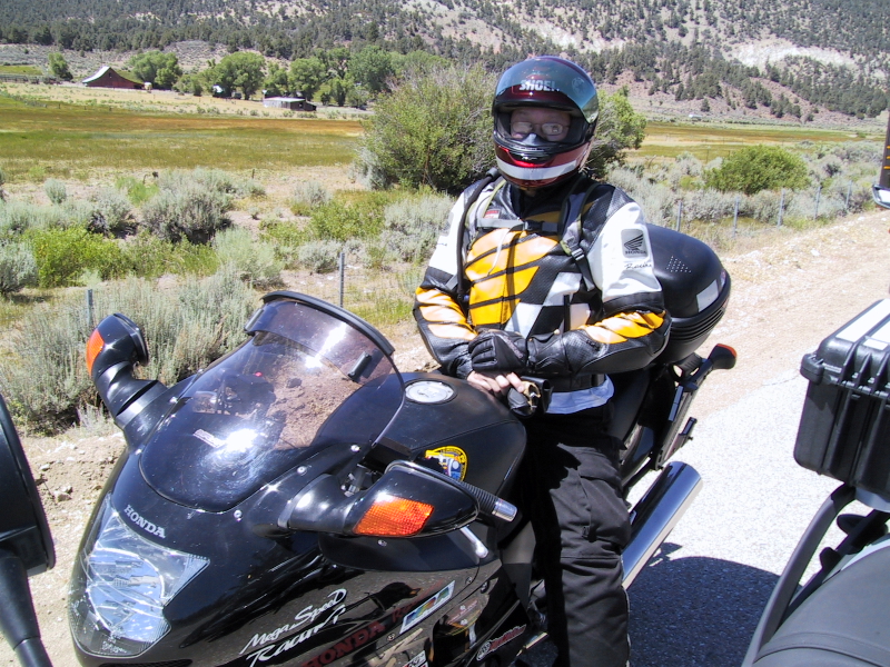
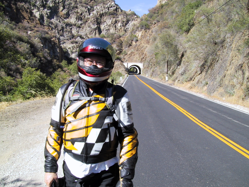
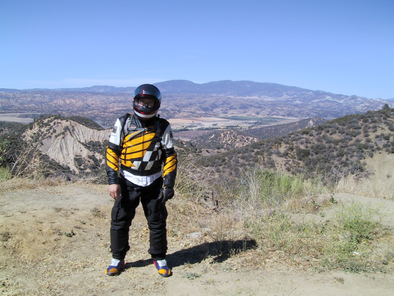
The Captain and his Blackbird.


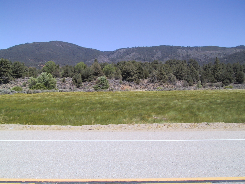
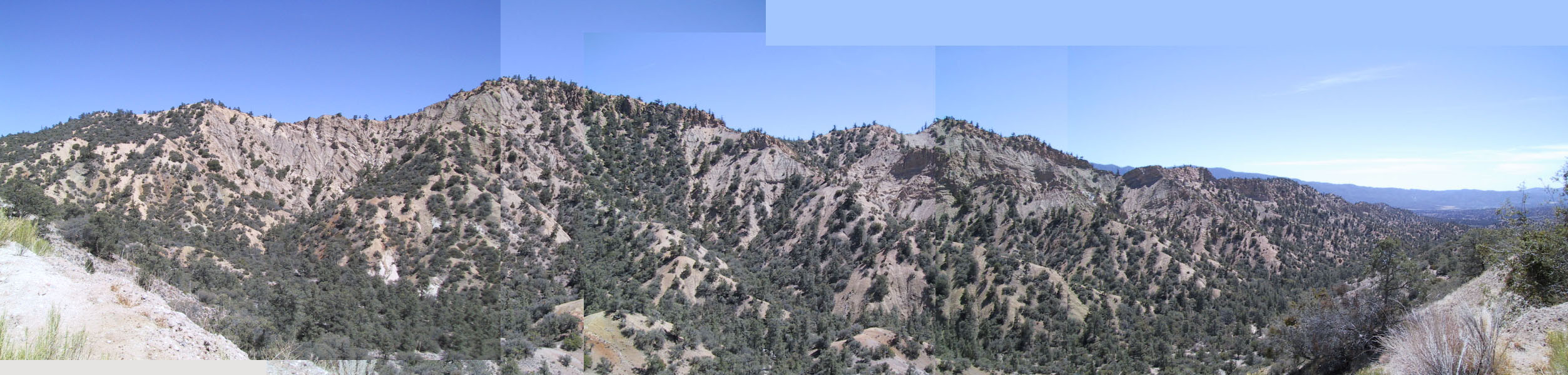
You can't really see it here but the grass was fluttering in the wind.  A sea of grass.
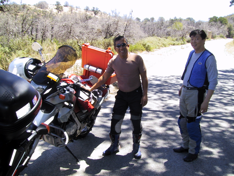
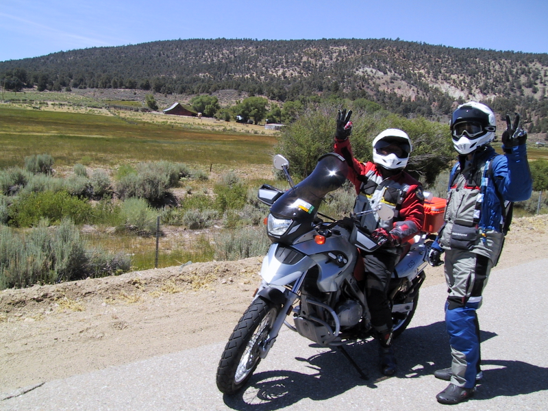
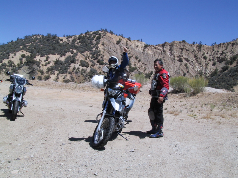
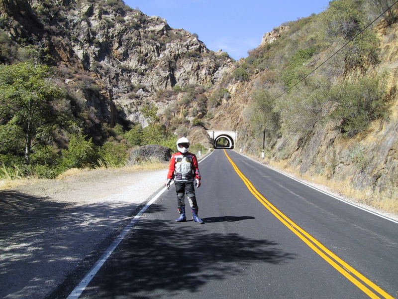
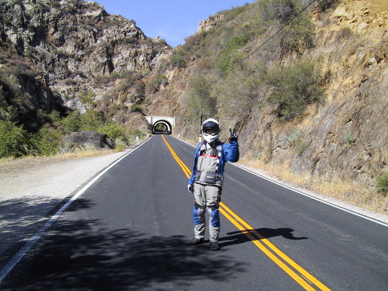
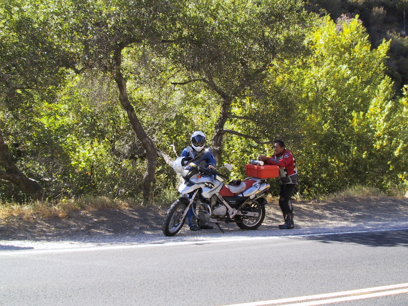


Lockwood Valley Rd is a beautiful road.  As we ride this stretch, I see so much variations in terrain that I think I'm in Arizona, California, Utah, and plenty of other places within the miles that encompasses Lockwood Valley Rd.  We even did a steam crossing.  Well, it's more like a trickle crossing.  What was suppose to be two inches deep and several feet wide of a stream crossing turns out to only be about 3 inches wide and about 1/16 inch deep.  Hardly a stream crossing.  However there is a price to pay for that little trickle.  That means it is hot.  Really hot.  Boy is it hot.  Did I mention it was hot?  Even my R12R shows 96 degrees F at the engine.  However, the heat is more like pockets of thermals rather than a constant heat.  There were sections of Lockwood that are quite nice and other areas that were almost unbearable.  We spotted some bikers on this road.  Most of them were sport bikes but there were an occasional cruiser here and there.  We were doing pretty good until we started heading into the trees.  Trouble is brewing.  I can see the reason why Lockwood Valley Rd was blocked off to through traffic last August.  There were plenty of trees that are charred from the forest fire.  Some trees were burnt completely where as others are only partially burnt, but this is not the "Uh Oh" factor that I'm referring to earlier.  I was minding my own business leading the pack when all of a sudden I see a sign that says "25 MPH".  What?  I look a little further on and "Woe Nelly!"  I'm heading straight for a patch of dirt road.  It's probably not good to hit this large patch at 60 MPH.  My immediate reaction is, I need to bleed speed and bleed it FAST!  I slam on the breaks to bring the bike down to about 25-30MPH.  I should have down shifted too but I wasn't quick enough.  Plus I was focusing on what was in front of me.  By the time I bled off most of my speed, I've reached the very beginnings of the dirt and let go of the breaks so I can glide over the whole thing gracefully.  No power, to breaks, just the suspension and me flowing on through.  I could have stood up but I didn't.  In fact I stayed on my seat and sprawled out my legs for better balance and to track the dirt just in case the bike decides to do something funny.  No problem.  The Telelever and the Paralever did their jobs and everything was smooth as can be for the situation.  I actually never bounced off of the seat regardless of the numerous bumps in the dirt patch.  I slowed down even further once I got out of the dirt to make sure the others are OK.  I look in my mirror and I can see Minh standing up on his Blackbird riding through the dirt.  As for Eugene, his 650GS was meant to handle such a situation so I didn't worry too much about him.  We all made it through without problems.  My thoughts at that point was ... where is that R12GS when I need it?  In reality the R12R did fine.  No big burly trailie needed here.

We continue on.  The twists and turns of Lockwood are a lot of fun.  Some section are more technical than others.  The one things that we had to watch out for was loose gravel in the turns.  I kept on having to stick my leg out to warn the others.  I look in my rear view mirror and see Minh doing the same thing to warn Eugene.  All of a sudden, the mountains open up to a view of the valley below.  We had to stop.


Check out the erosion on this mountain side.


Looks like the wind blew Minh's gloves onto the ground.


Break is over.  We gotta get back on the road, but before we take off Minh has a request.  "Let's find a shady tree on our way down for a nice break."  "I don't think there's will be any shade but I'll try," was my last comment before starting up the bike.

We made our way down the mountains and out onto the valley.  Again it is hot.  The entire time we're on the flat stretch of road I'm scanning for a good shady place to stop.  Nope, not that one.  Nope, not that one either.  The dirt looks way too soft.  As I was scanning for a spot to pull over, I see that we're riding right next to a flood basin.  The GPS claims it is a Dry Canyon.  Dry it is.  The features are really interesting, but too bad there is no way to really get in there.  The road eventually cuts across Dry Canyon.  The crossing is like the other trickle crossing we did.  I can see the potential for so many river crossings on this road during the wet seasons.  Next thing I know, there it is.  Just the shade we were looking for.  I signaled and everybody pulled over.  This time around, no "Are we lost again?" comments were made.  I asked Minh if this spot is OK for a good snack, "This is fine."  We took off our gear and stood there relaxing for a while.  We all noticed the difference in temperature between the shade and the sun.  It was easily 20 degrees lower.

Long break all done, we're ready to go.  Everybody suits up and start their bikes.  I was the first on on the road, next is Minh.  I look in my mirror to make sure Eugene is OK.  Definitely Minh is fine but where is Eugene.  I slowed and look a little closer.  He's dropped his bike.  I stopped in the middle of the lane.  I signal to Minh that we need to make a U-turn to go back and help Eugene out.  Minh then looked at his mirror and also see Eugene standing next to his bike.  We both rush back to Eugene's location.  His front wheel had plowed into the soft dirt causing Eugene to drop his bike.  It's cool that Eugene did what I recommended he do in a situation like this.  Let the bike go and jump off to prevent injury because you're likely to hurt yourself trying to keep the bike from falling.  It was cake to raise the bike with all three of us pushing and pulling it up.  "Man, this is a tough bike," said Minh as he examined the bike and saw no signs of damage.  "Yeah these bikes are tough.  They're built to be dropped occasionally," I said.

Once again we're on our way.

Not knowing this route, I thought that we're close to being done with the loop.  The reality is, we're far from being done.  The spot where we stopped for the long break is actually less than 1 mile from where Lockwood Valley Rd ends and the 33 Hwy part of the loop begins.  Having been on the boring part of the 33 Hwy (e.g. north of Bakersfield) I didn't know what to expect on this stretch.  All I can tell, when we made the initial left turn, is that we're going up hill.  It started slowly and gradually got steeper and steeper.  Next thing I knew we're doing switchbacks.  finally at the last switchback for this stretch, the world opens up.  Wow!  yet again I had to pull over.  The view is spectacular.  What a gem.


Minh's turn.


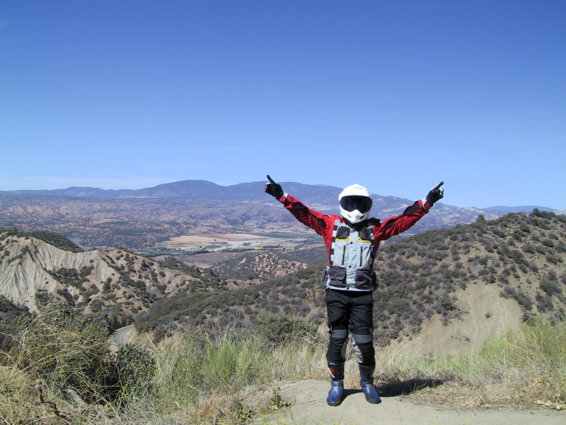
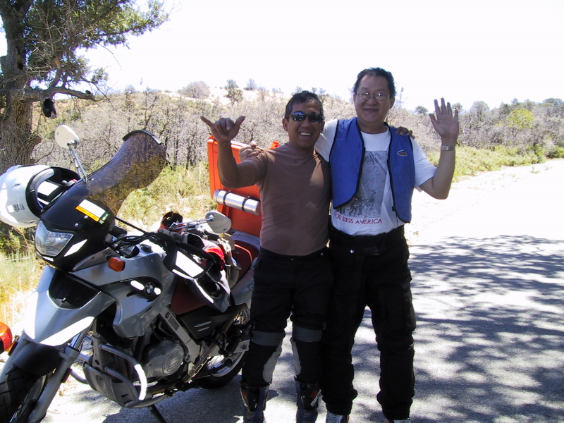
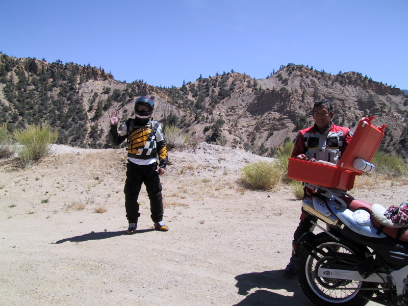
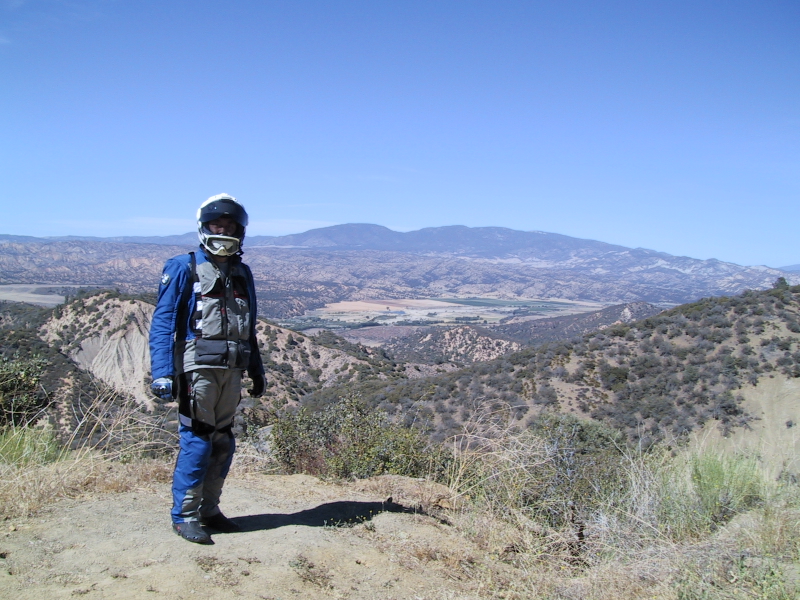
... and Eugene is celebrating being on the top of the world.  What he doesn't realize is he's only on top of a cliff.


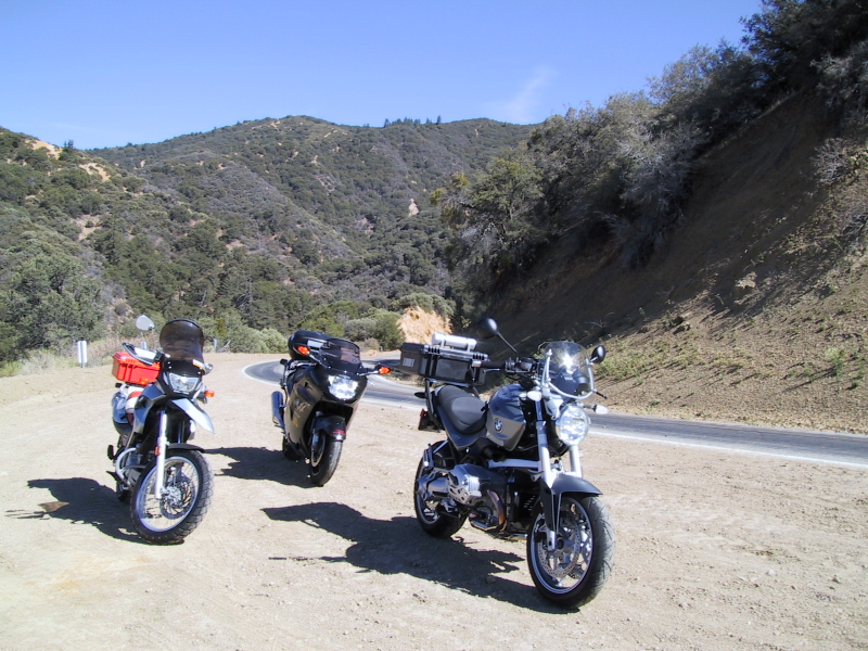
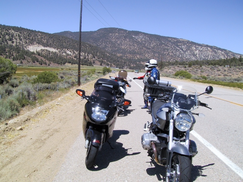
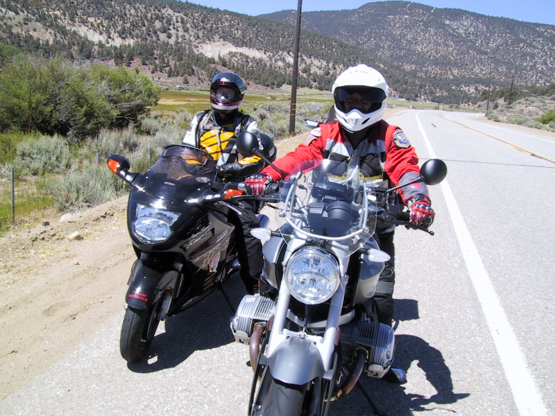
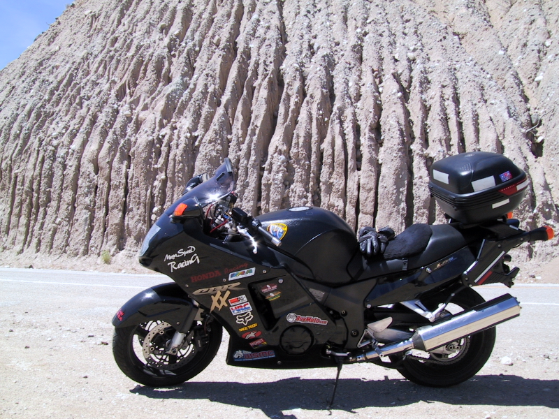
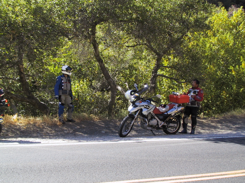
The three amigos' horses.


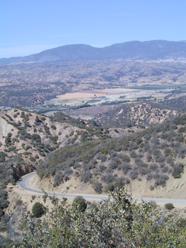
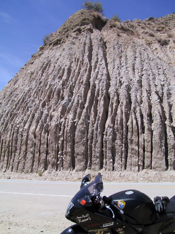
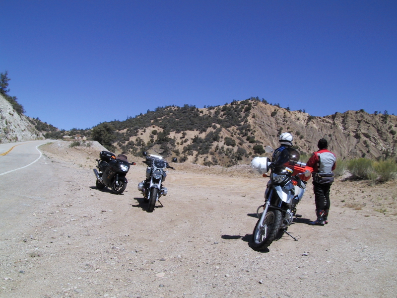
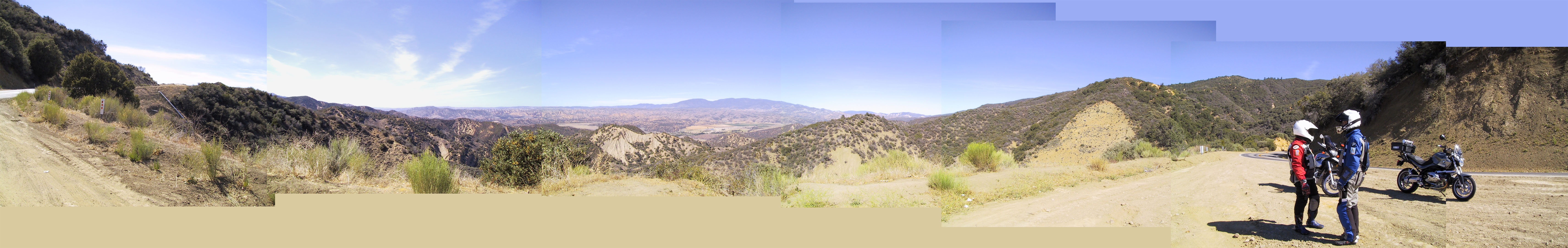
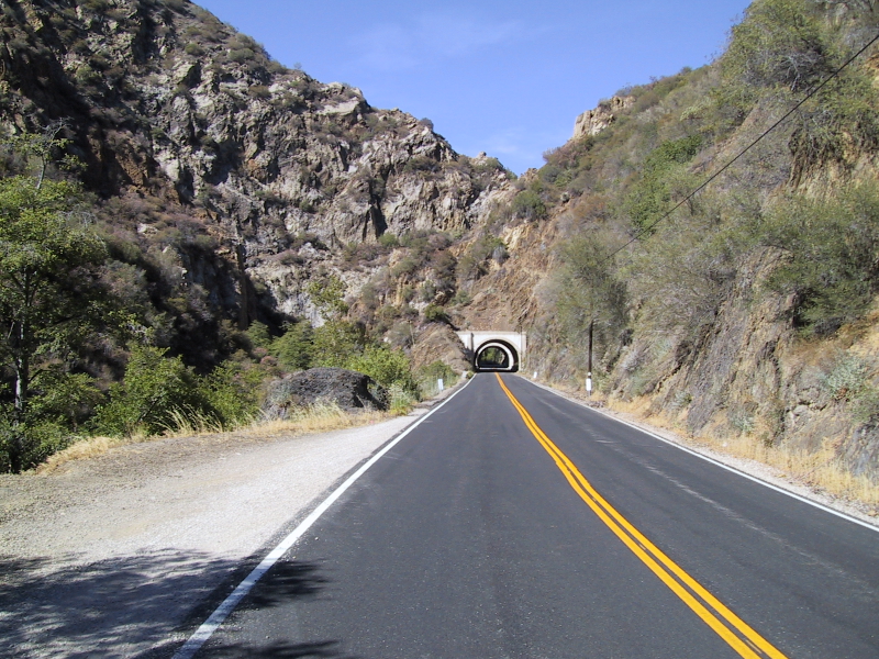
You can get an idea of the grade.  This is the route we took to get to the spectacular view.

This part of the 33 keeps getting better and better.  The scenery doesn't just stop with this view of the valley, there are more mountains and deep valleys to be seen.  Another tangent.  This is where my R12R becomes obscene regarding fuel.  I'm seeing guesstimates of over 330 miles my by my bike computer for the remaining fuel.  At first I thought the computer was wrong.  Then I look at my fuel gauge and the tank looks at least 3/4 full.  Not only that, my MPG has jumped to 64 MPG.  That's amazing for a 1200cc engine.  I think this is a combination of driving at 50-55MPH and also going down hill.  My initial reaction is, "This can't be right", but it actually is right.  This bike is insane in terms of fuel range.  According to the on board computer I'm getting 300+ miles to 4.5 gallons.  That's an average of 66 MPG.  Wow!  I thought the GS was good, this bike takes the cake.  Mind you, I'm not totally easy on the throttle.  I'm still accelerating out of corners.  I'm not punching it but I'm burning fuel nonetheless.

Thermals here and there.  Some spots aren't too bad, others are quite hot.  I can see the temperature on my bike climb from the mid-high 80s to the high 90s.  Whenever the bike shows high 90s, it feels like 100+ to me.  Eventually we get relief as we slip under the canopy of the Los Padres National Forest.  It's so nice to have the 20 degrees less and no direct sun light beating down.  We ride pass campground after campground.  There is even a stream next to us to keep everything nice and cool.  Sometimes it got a little cold, but who's complaining on a hot day like this.  As we pass through two tunnels, I can see Minh wave at me wanting to stop.  I oblige by pulling over at the next most convenient spot.


The rest of the 33 leads down to Ojai.  Nothing much to report here other than all the streets leading into and out of Ojai is slower than molasses.  Wide open roads that should have at least been 55 MPH are marked as 35 MPH.

The Nav system almost got us lost again but Eugene pointed us in the right direction.  Eventually, when we got into Santa Paula, I ask Eugene to lead since this is his backyard.  Lead he does.  It still intrigues me how Eugene knows what roads to take to get to his house.  As for me, all I can see is his license plate and a lot of turning.  Of course riding through the country side with vineyards all over the place is a nice change.  It's still hot.  Next thing you know, we're at Eugene's place.  For him the loop is about 250 miles.  Minh and I relax a bit at Eugene's place before heading home.  The trip home was pretty much a straight shot.  118-I5-134-210.  Unfortunately, the I5 is jammed up when we got close to the 134.  Minh and I ended up splitting for a good 10 miles or so.  When I got home, my trip ODO shows 280 miles.  Minh was the winner at 300 miles for the Lockwood loop.  This is a good ride so I'm sure we'll do it again.  It was definitely worth the 9-10 hours that it took.  BTW, when I got home the computer told me that I had another 170 mile range for the remaining fuel I have.  I went to work for two additional days at 30 miles each day.  When I did fuel up again, the trip ODO read 339 miles and I put in 4.8 gallons.  Insane I tell you.

As for the Nav problem, I found out what I did wrong.  1) The MapSource program on the computer was set to take unpaved roads into consideration for routing.  This is the first problem.  This also explains why the trail in Hungry Valley Park was considered and why we entered the park in the first place.  2) I had set the program to select the shortest distance to take for the routing as a result the software did its calculations according to the shortest distance and ended up making some strange decisions.  I have since set the tolerance for routing so that it's more centric to faster routes.  At a level it is operator error (e.g. me).  However, there are so many setting in the MapSource program that even a computer nerd like me is still learning how to use it.  Suffice to say, deselecting the "Consider unpaved roads" is a big step in the right direction.  The other thing I will do is preview the route before downloading the route to the StreetPilot.  Hopefully this will prevent the "Are we lost again?" question in the future.


Written on: June 30, 2007
Last modified: July 6, 2007