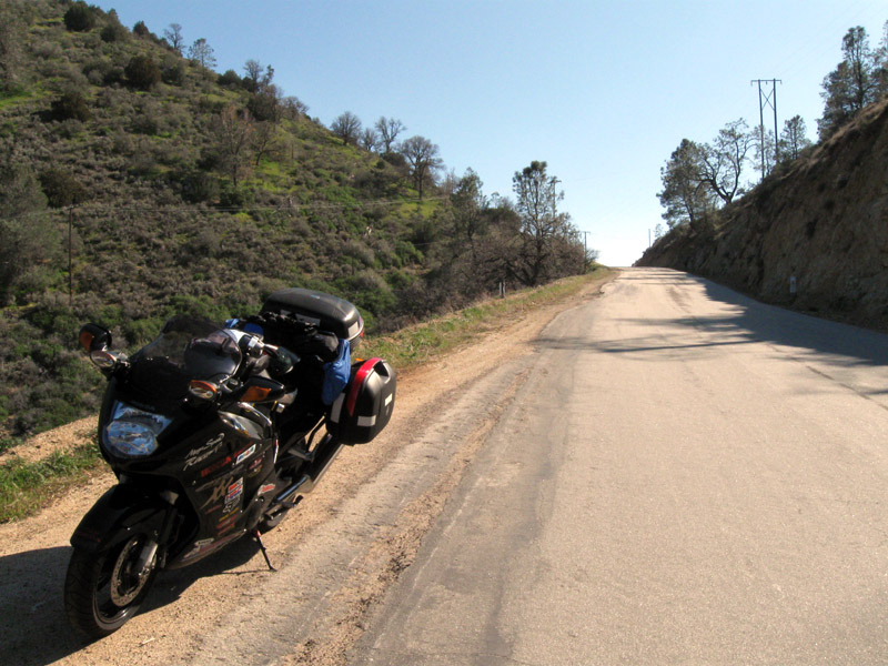
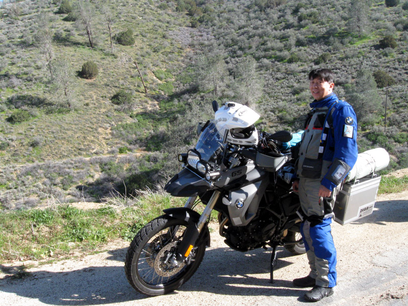
Finally the Captain arrives. What was
the first thing I said to him? "Where were you? I've been
waiting here for three hours!" to which he replied,
"Bullshit!" We know each other all too well. Now the party
can start. Well, after a cup of coffee. I order two mochas
and what did they charge me for? Three mochas. Oh man, what
am I going to do with this extra coffee? Nu said, "Give it to
Linda." "OK. I can do that." I walked out and asked
Linda whether she likes mochas. She said yes. Voi
la! Instant coffee, kind of. No problem, always glad to be
of
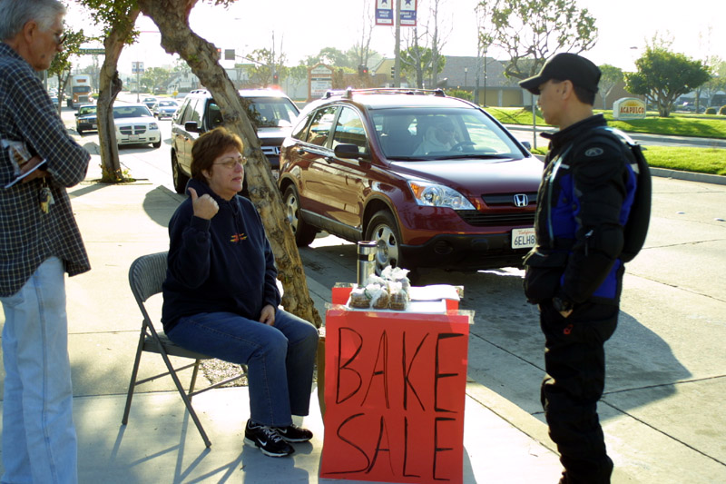
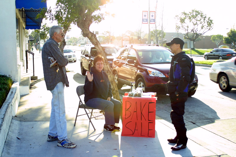
help. BTW, we purchased two packets of oatmeal cookies and one
pack of lemon cookies form Linda. We're going to need it on the
trip.
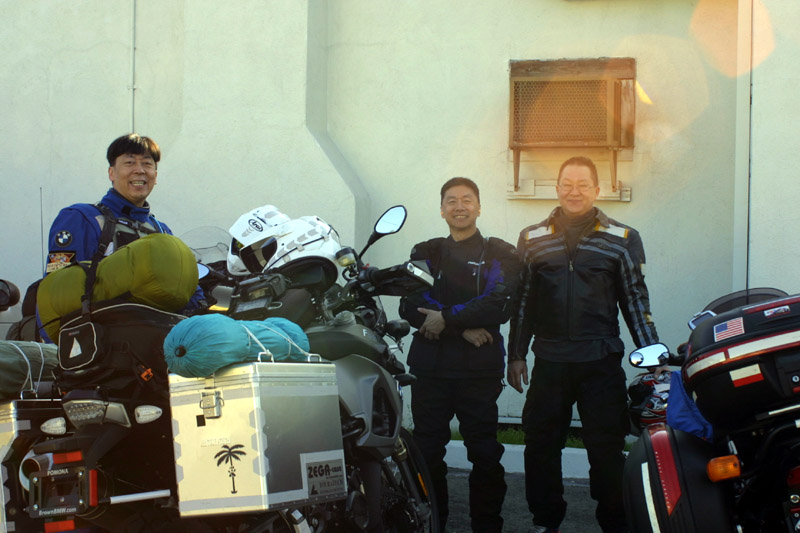
The three amigos.
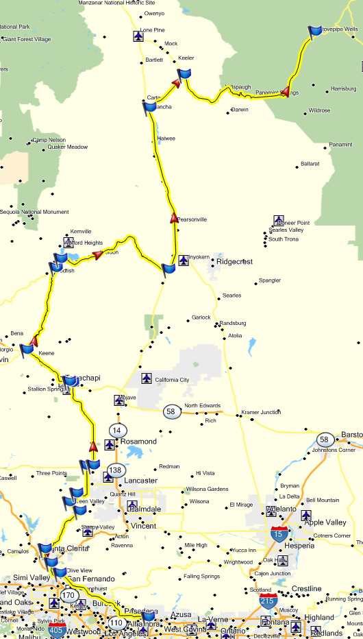
Off we go. I originally wanted to top off the tank, but opted to
just get going. We can always fuel later on the road. We
climb the
on ramp and head west on the 210 freeway. It looks open enough at
the street level, but once we got on the freeway it was starting to
plug up after just 2 miles. Figures, LA rush hour traffic.
It always sucks hard in the morning. We pulled off, ride the side
streets for a while
until we noticed the freeway was moving again. For some odd
reason the freeway always seem to stall at this one bend for no
apparent reason. Oh well, at least it's back up to speed.
It's a straight shot, relatively speaking,
until we reach the west end of the 210 freeway.
We're fortunate enough to touch only one freeway today.
Oh man, I'm going to hear about it now. I'm making the pack do a
U-turn because I missed the left turn. Oh wait, the GPS is
telling me otherwise. Oh crap, I didn't have to make that U-turn
after all. Oh well, we'll just stick to Newhall as it will
eventually lead us to Bouquet Canyon road anyway. It's not as
easy as it appear to navigate by GPS. This is because the GPS
will only tell you the general area and not truly give specific
information. Sometimes it's even behind in terms of information
and location. It seems I'm always doing some type of
interpretation or other.
As we sit at the intersection of Bouquet and Newhall Ranch, I
get a funny shake to my bike. At first I thought Nu was being
funny and was bumping my rear tire. I was wrong. Nu came on
the radio "Hey, it looks like the Captain wants to stop. I think
he wants something to eat." I gestured to the Captain and sure
enough, he want to stop somewhere for breakfast. I forgot to
mention earlier, he was so glad to be going on the trip that he offered
to
treat us to breakfast. There is a condition with that. Nu
and I aren't allowed to starve ourselves last night by not eating
dinner. Hah! Whether I wanted to or not, I didn't have much
of a dinner last night. I was too busy trying to figure out my
packing configuration. Nu was in the same boat. The
Captain's in for it. We pull into a shopping center and start
searching the
GPS for the nearest place to eat. IHOP pops up as a via
solution. 0.7 miles back in the direction we just came.
OK, we double back and searched for the restaurant. One again the
GPS strikes. When we got close to our destination, the GPS yelps,
"Arriving at destination ... bla bla bla." Hey!
Where is the info about which side of the street it's on? The
Captain and I were looking frantically left and right to see where the
place is. At last, we find it! It's on the right
side.
Sheesh! It would have been nice if the GPS would have just said,
"On your right." It goes to show, it's still not a perfect
navigation system even when it does know what side of the street it's
on.
OK. Time to order up! That means 3 omelets, 20 pancakes,
and 15 sodas for each. That should kick the tab up a sufficient
level for the Captain. Now if only I can really eat that
much. No really, it is awfully generous of the Captain to flip
the bill for our breakfast. Thanks Captain. We should do
this more often to we can get more free food. After a good grease
filled breakfast, it was time to keep movin'. As mentioned by the
captain, "Let fuel before we get into the mountains." Sure
thing. I can accommodate that. 120 miles. 2.6
gallons. Wow! That's pretty decent considering I'm carrying
a wide load.
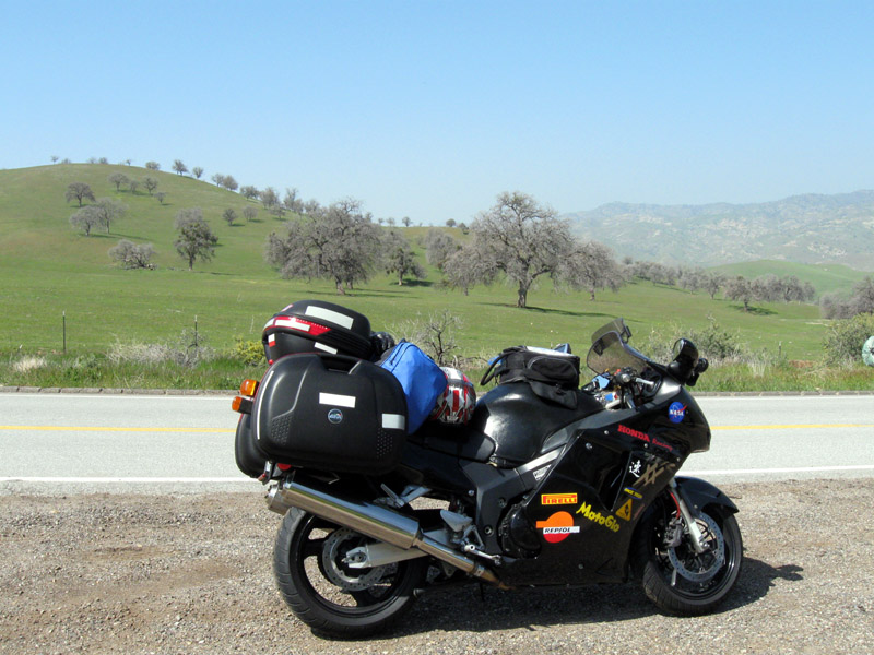
As expected, because the 8GS is such a new piece in the arsenal, this
is the first for the bike on Bouquet. Of course it handles
everything with relative ease. The bike makes it all look and
feel so simple.
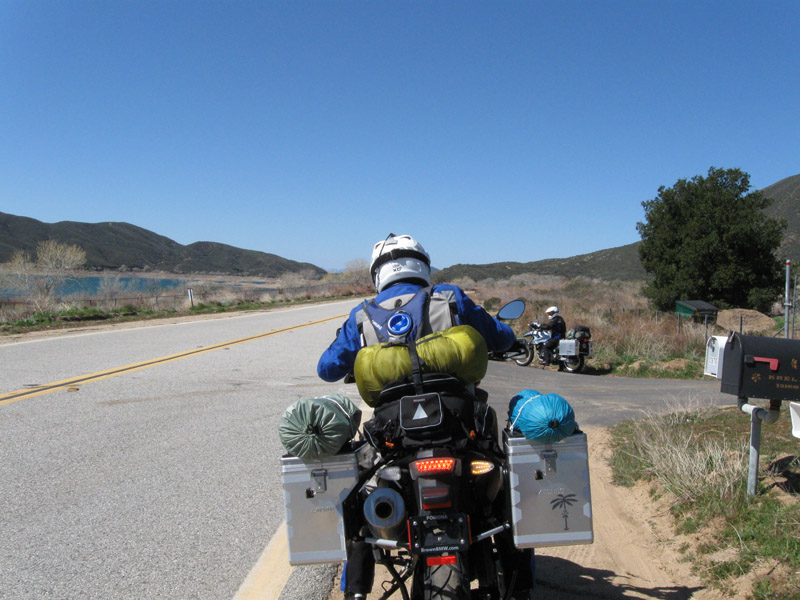
Spunky Canyon road, San Francisquito Canyon road, Elizabeth Lake
road, Johnson road, and there you have it. We're in the extreme
west
side of Lancaster. We go up 110th west to D, hang a right then
left
onto 90th west, and take the road all the way to Tehachapi. I've never
been up this way before. It's boring as hell, but it's all part
of
the adventure. Once we reach the mountains, following a very slow
construction pickup truck, we're greeted by objects that we have only
seen from a
distance. It's a wind farm. Man these things are
huge. I've never
been up this close to one before. The blade itself must be at
least 60
feet tall. They're all slowly rotating but if you get whacked by
one
of these guys, you're toast. The cars are starting to pile up
behind
us, but that's not our fault. Ease off people, this guy can't
handle
the slope. What's your hurry anyway?
I don't know when was the last time I've been on this stretch of the 58
HWY. Most likely I haven't been on this road ever since I live in
Fresno. That's at least
a good 15-16 years ago. It's a welcome sight despite the crazy
driver
out here. I remember it being difficult driving stretches of this
road
because of the G forces in the turns. It all seems so easy on a
motorcycle. The
cars can't keep up with us as we descend and the HWY start curving back
and forth. That's good. I much rather be out from among any
four wheeled crowd.
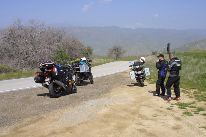
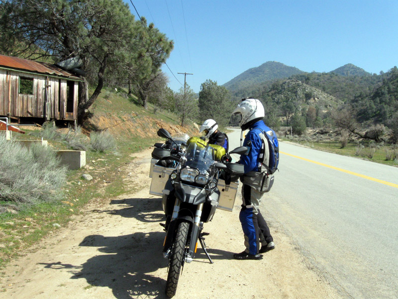
15 or 20 miles later, we pull off onto an Bealville road. I've
driven
this the 58 HWY many times and see many turn offs but I have never
taken any of them. Once again it's a first.
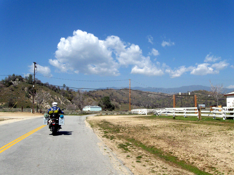
It's so green! And the country side is simply gorgeous. The
58 HWY has been known as one of the most scenic HWYs around.
Today it is flaunting it's grace/beauty to us once more.
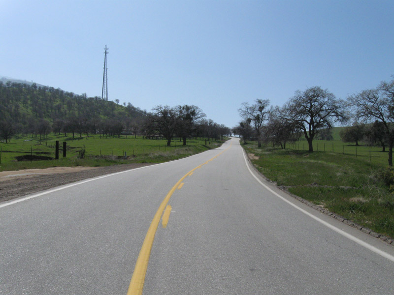
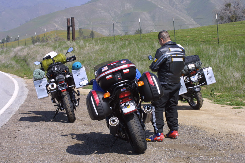
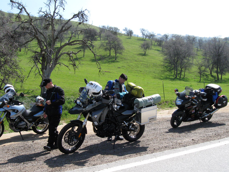
Bealville Road.
This is when we discovered how good Linda's cookies really are.
We pull out one oatmeal pack and a couple of the lemon cookies.
Holy cow! These cookies are sensational. I have to get some
more when we get back. We're standing here chewing on cookies and
waving at the cars passing by. For an off of the beaten path road
there sure is a lot of traffic.
Once done with all the pictures, onward we go. I
distinctly/instinctively remember not tightening down one of my
panniers. I took a quick head dip and notices the right pannier's
lid is off kilter. Oh #$*%&@! I don't have a retaining
strap for the pannier lid so it could go flying off and hit one of the
others behind me. I pull over to secure the lid. Just then
I noticed a big pickup truck behind us pulling over also. As I
got down, the driver got out and started walking towards my
direction. Being a suspicious big city folk, I was a little
apprehensive. When the driver started asking me if I know the
area and whether I know what roads to take, I started rethinking that
thought. It's just a nice guy trying to help out. when he
started mentioning paths to take and offered us the option of following
him, I consulted with the Captain and we both decided to take him up on
his offer.
It is a good pleasurable ride. At times it is a little faster
than we would like because this is our first time through.
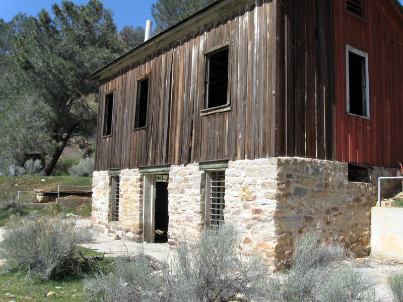
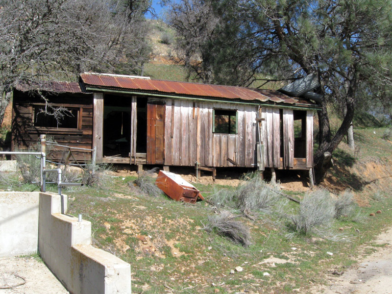
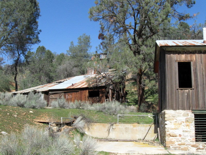
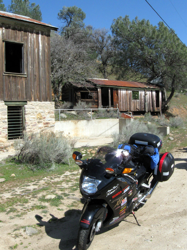
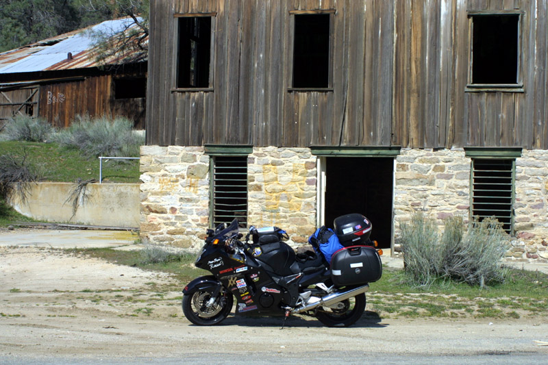
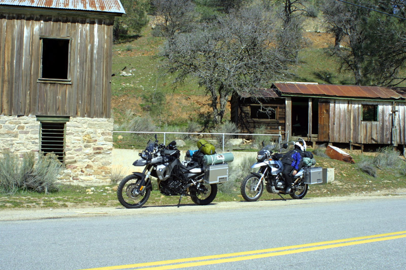
Eventually we come upon an abandoned resort/home. The Captain has
to stop and take pictures. He signaled Nu, Nu radioed me, and we
all did a U-turn. We all pull over and started snapping
pictures. What can you say? We are tourists after all.
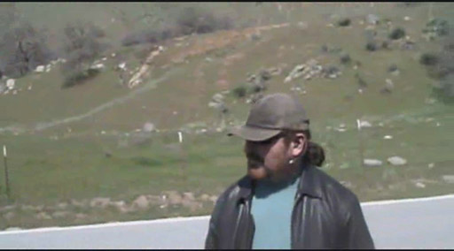

Lake Isabella - Part 1
(Thanks Douglas!)
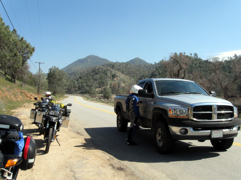
Man that's a big truck. It's surprising how fast he can drive it
through these twisty roads.
We were barely able to keep up at times.
Not too long after, the gentleman in the pickup truck pulled up to
check on us. I told him we're all fine. We just wanted to
stop and take
pictures. With that I requested his name (e.g. Douglas), so I can
write about him, and I pass Douglas this website so he can come and
visit us virtually. Douglas gave us some more local road safety
tips and turn around to go on his way. Thanks Douglas for guiding
us. Cheers and maybe we'll catch up
with you again one of these days.
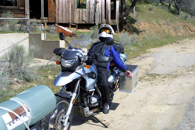
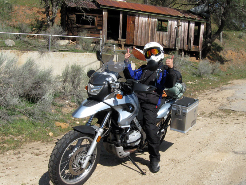
Rag doll.
Still rag dolling.
Oh look at that! He's actually still alive.
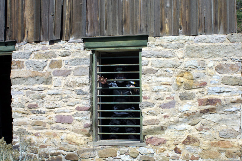
Incarcerated for speeding?
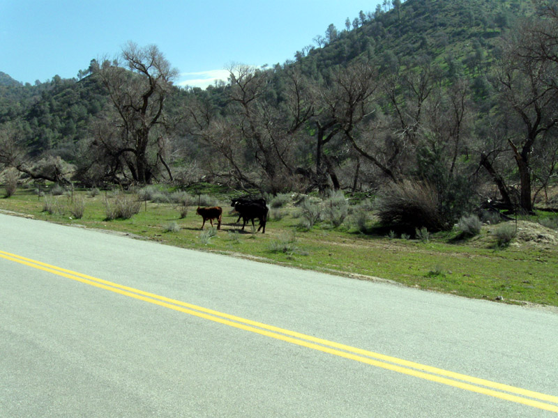
Big dogs? Hardly. They're calves roaming the land.
A tourist's job is never done, but in this case, we're done with this
location. It's time to move on. Back on the road we
go. I keep in mind and try to remember all the things that
Douglas told me. There's nothing like the guidance of a local
person. Not heeding such recommendations could spell doom for the
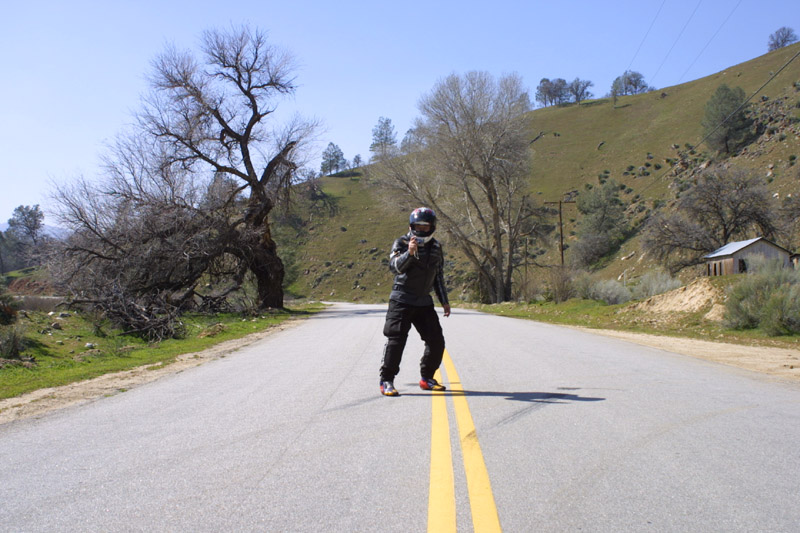
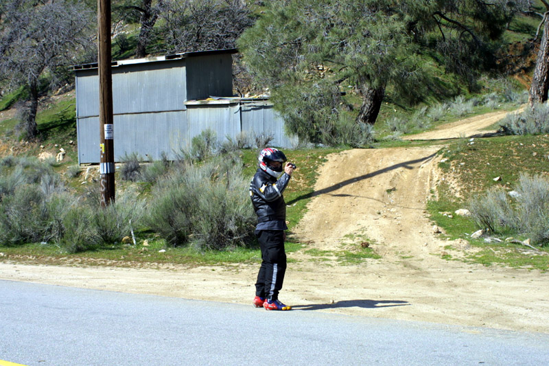
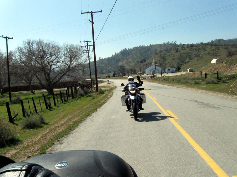
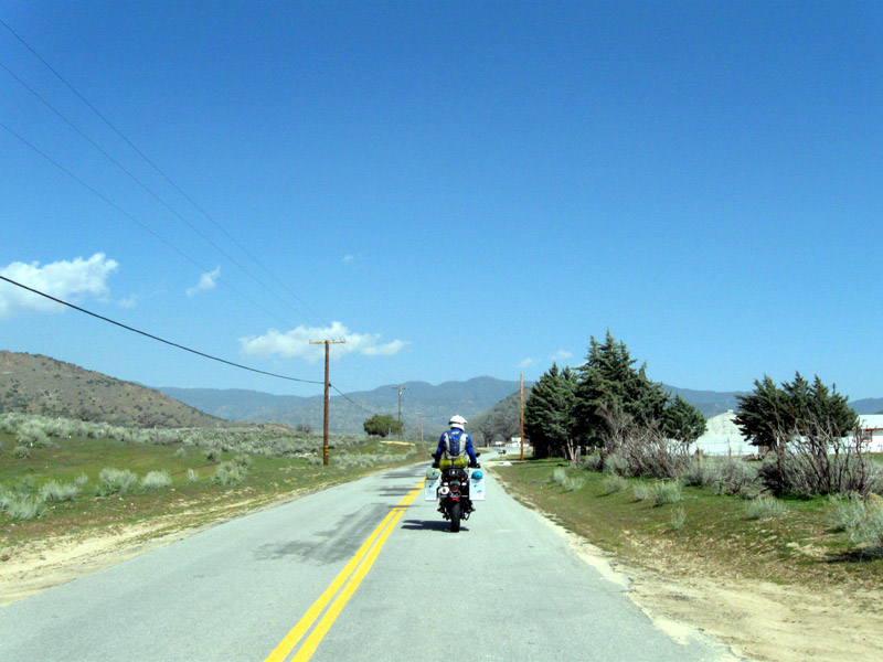
arogant traveller. Back on the road, the Captain decided to take
these moving shots. Considering he was wagging the entire
session, I says he did a magnificent job. Way to go
Captain. You've inspired me to get a small digital camera for on
the move shots also.
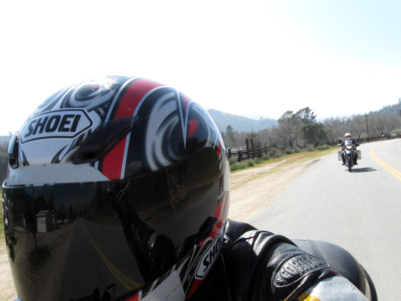
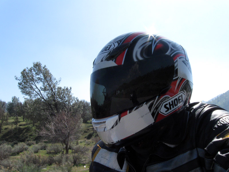
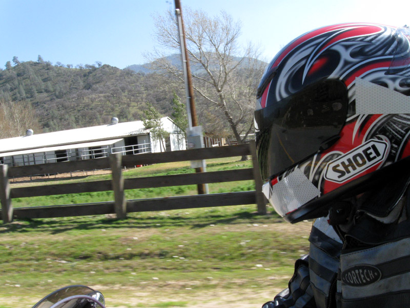
Check out the camera arm extension reflection in the Captain's face
shield.
We reach the meadow, turn right at the cell phone relay station, and
nervously did several blind turns up hill on a single lane road.
Through out the sessionm until we reached the out look above Lake
Isabella, Nu and I kept on saying, "This is what he must have been
talking about." Referring to the pointers that Douglas gave
us. We had to stop for pictures when the below view was sprawled
out in front of us. Once again, the tourists are back at work.
It's much later than I had hoped. It's already 3:30pm and we
haven't even reached Kernville yet. It looks like we might have
to skip the search for Fairview (Road's End) once more. If we
attempt to find fish fillets this late in the day, we probably won't
get to Death Valley until midnight. I poll the Captain.
"I'm OK with skipping it. It's too hard to find anyway," says the
Captain. We skip Fairview once more in the interest of time.
We make it down to Lake Isabella, fuel up, and decide it's time to stop
for a lunch break. It's
not the most gourmet of food, but at least it satisfies our
hunger. We
stop at the local Burger King. Comments made in the parking lot
of the Ralph's Supermarket about a helmet camera, and a shot of
Starbucks coffee later, we're back on the road. I haven't been on
this stretch of the 178 HWY south of Lake Isabella. It's a really
good road. A bit on the windy side, but nothing overly
scary. The only other time I've been on this road is on the
Death Valley
'07 trip. I can't believe it's been two years already.
Yeah I know it's all part of the adventure but I can't help but get
bored when we're on the 14 HWY. It's one of the straightest and
most boring HWYs around. The monotonic scenery doesn't help
either. As we reach the tail end of the 14 HWY before merging
onto the 395 HWY I get a chime from Nu, "... the Captain was
complaining about a sore wrist at the last stop..." was what I
heard. OK. This means we need another stop before the last
leg to reach DV. We pull into the Shell gas station at
Pearsonville. Since we're here, we might as well fuel up one last
time so we don't have to worry about fueling again until
tomorrow. Nu makes a check in call to his significant other as
there might be zero cell phone signal in Death Valley. It's been
two years since I've been in DV so I don't remember whether there is
cell signal or not. As for the Captain and myself, we've been at
it for too long so we not going to bother to check in. Something
in the neighborhood of 10+ years just makes you say... oh whenever
whatever. Yes, boys on the loose.
There's only 110-120 miles left to reach Stovepipe Wells. That
means we'll reach our destination around 9:30-10:00pm.
Admittedly this is stupid. What? Taking the 190 HWY (e.g.
Death Valley scenic route) when it's 8:00pm at night and all you can
see is pitch black. Who was the one that came up with this
brilliant idea anyway? Would it be the writer of this
article? No. Never. I wouldn't do something like
that. Not! I have to remember not to take this route to DV
if I know I'm going to be riding in the dark. What good is a
scenic route when you can't see anything. What's even
better? The temps are freakin' cold. The highest is 56F and
it dips all the way down to 38F. Oh man! That's just what I
need. To also worry about icing conditions in this dark. We
tough it out as long as we can until the Captain signals to get
over. OK, this is as good a time as any to say "I give up" and
stop to put warmer clothing on. We stop at the Death Valley
entrance headstone. It's cold! When we turn the lights off,
we can't even see our hands 5 inches in front of our face, but the
beauty is above our heads. The stars are spread out above us like
lights of a city's streets. OK, night time sight seeing is over
it's time to address the cold. We all strip down to the
essentials before putting on liners and heated vests. Much
better. Now I'm nice and toasty. I should have changed out
gloves too, but I was just too lazy.
The light management continues. HID light switch and high beam
switch. On they go. Off they go. Who would have
thought there is so much traffic at this time of night in Death
Valley. Well, "so much traffic" is a relative term here.
Basically, there is a car every 10-15 minutes. That's a lot for
"Out in the middle of nowhere". I'm so glad I installed both HIDs
right before this trip. It makes traversing the turns much easier
than with just the stock lights. The soda straw is that little
bit bigger. Trust me, "a little bigger" is a vast improvement
when you're driving almost blind.
The temperature climbs and dives.
When we reach Panamint Valley, the temps are up into the low 60s, but
this is just a rouse to trick us into removing our warm clothing.
Not so my fine friend. I know better. Why? Because in
order for us to reach Stovepipe Wells, we have to make it pass one more
mountain range (Panamint Mountain Range). It's wasn't obvious
that we went through a mountain range to get to Panamint Valley, but we
did. Having experience that, I don't want to make the same
mistake twice. We keep on chugging without wavering.
What is this car doing? He's in the middle of the road and doing
25-30 MPH up the hill. Not only that, he doesn't want to take the
turnoff to allow faster traffic by. Whatever, we pass him when we
see an opportunity. At last, Stovepipe Wells. It's 10:00pm
and everything looks closed. It's expected when you're in the
middle of nowhere. As we pull into the campsite... "WOW!
It's full." Let 's see if we can find a spot. Driving
straight into the back of the campsite we literally stop at a campsite
that is vacant. What luck. Looking to the left and to the
right, "This is as good a spot as any," I said. "It looks like
we've lucked out. Let's setup camp here." At last, we are
here. It's still freakin' cold. We shutdown the bikes for
the night and begin setting up our homes away from home.
I was hoping that the convenient store is open, but this is no big city
and the people that work and live here have lives. Yes, that
means none of this 24x7 business hours bull. Unfortunately this
also means we can't get any type of purchased meal. Hey!
That's what we get for dragging our carcass out here at 10:00pm at
night. However, that's alright. We have an
alternative. We know better. We have MREs. It might
not be the best meal in the world, but when you need food all you have
to do is rip open a bag. I correct that, cut open a bag.
Have you tried to rip open an MRE bag? Good luck.
When the last Nu and I checked, we don't have cell phone signal
here. Death Valley looks to be a cell phone dead zone.
During the course of the meal, the Captain pulls out his cell phone and
announces, "I have cell phone signal!" "What service do you
have?" asked Nu. "T-Mobile," the Captain responded. "How
about I charge you $5 a minute? You can use my phone to check
in." "Do you have cell signal?" asked Nu. "No, I just
wanted to check to see how dedicated you were." said the Captain.
Oh man, the Captain has both of us fooled. Dam he's good.
The reason why the Captain got away with it is because both Nu and I
have Verizon. Nu and I both though maybe T-Mobile has
reception. Nope, it's all bad. Wow! Old dogs can
still be pretty tricky. Lesson learned. Death Valley is
definitely a
SPOT location.
Now that
we've wined and dined, it's time for bed. We have a lot of
sight seeing to do tomorrow. Dam it's cold.
Talk about bad ass Harley's. I don't know if I should ignore them
or hate them. It's after midnight and these idiots ride into camp
with their straight pipe blaring. Excuse me but quiet hour start
at 10:00pm and lasts until 7:00am. Of course, being the bad ass
Harley's they are, they don't care about anybody else except
themselves. What a bunch of misfits. However, one of the
idle Harley's makes such a distinct and yet familiar sound to me that I
had to comment to Nu. "Why these guys are riding lawn mowers," I
said. The "putt, putt, putt ..." sound reminds me of the gardener
coming to my house every Friday or Saturday morning to mow my lawn,
while I'm trying to sleep like right now. "Oh, it's the lawn
mower gang. Maybe they have a leaf blower too." At this
point Nu is hysterically laughing. Eventually they settle down
also and the rest of the campsite can go back to sleep.
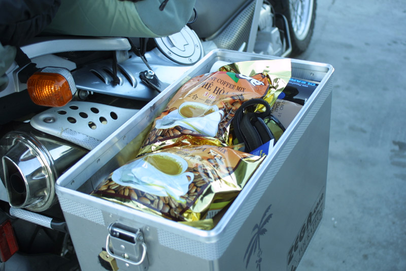
The secret weapon for surviving endurance rides.
Can you see the MRE poking out from under the coffee bag?
Something like Meal No. 19 Roast Beef.


