 Arizona - Day 2
Is it Yosemite or is it Sedona?
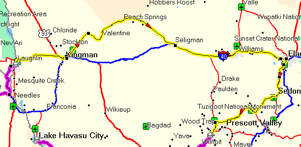
292 miles
[Saturday -
October 20, 2007]
I lost $10, Minh lost $60, and Kevin lost $100. So much for
trying to recover the cost of the trip via the casino route. I
had a feeling that my luck wasn't any good last night and I was
right. As for Kevin and Minh, they should have stopped when they
were ahead. Oh well, hind sight is alway 20/20 if not 15/20.
I woke up about 6:30am this morning. I knew it was going to be a
long ride since we are planning on stopping at Meteor Crater and
Sedona. As I recall, it was something in the neighborhood of 360
miles for today. That works out to be something like 7+ hours in
the saddle excluding breaks. Those 7+ hours are only true if we
take the 40 freeway all the way to Meteor Crater. However, I
think we're going to detour once again if we see more signs for Route
66.
I was done packing my things and hauled the majority of my stuff to the
bike by 7:00am. I wanted to start off early this morning because
of the time requirements. As I was making my way through the
hotel lobby, I spot Minh coming from the elevator area. I waved
at him for a while before he finally spotted me. I guess he
didn't anticipate I was going to be up so early. What was the
first thing he said to me? "Kevin snores like crazy too."
Hm... so much for the concern that Minh will blast Kevin with his
nightingale audible tones in the middle of the night preventing Kevin
from sleeping. It seems Kevin is on par with Minh. That's
cool. I'm a light sleeper. Minh is down here lazing about
looking for coffee. I'm sure he had taken notice of the Starbucks
right next to the entrance to the hotel. He offered to treat me
to some coffee. Since I lost my remaining $10 to Harrah's, I
accepted. I'm currently cashless. Minh pulled out his
Starbucks charge card and mentioned, "I wonder if they accept this
here?" To which I replied, "They probably do it does say
Starbucks in front of the place." Content with the comments Minh
tried to use the Startbucks card when we got to the register and it was
time to pay. What did the cashier say? "We don't accept that here
because this store is owned by the casino." Minh and I were
stunned. What? That doesn't make sense. If that the
case then why in the world did they bother slapping a big huge
STARBUCKS lighted sign in the front of the store? Minh ended up
paying cash and we both walked out with a tall coffee and a tall
mocha. "I'm going to have to call Starbucks and ask them about
this when I get back." commented Minh.
We were both walking around the hotel/casino and decided to visit the
back of the hotel. There is suppose to be a beach of some
kind. Sure enough, river side of the hotel had a man made
beach. It comes complete with straw beach umbrellas and
all. There was also a pier for a boat ride to visit London Bridge
down at Lake Havasu. Interesting. While we were hanging out
at the pier, we both noticed the clarity of the Colorado river.
Not only that, there was trout swimming around. Eventually we
both head back up the hotel to finish the packing job.
The first order of business for today is for me to get some cash.
I checked with the GPS and there is a bank near by. The ATM
machine in the casino wanted outrageous percentages for withdrawing
money. Forget that. It's suppose to be 2.6 miles to the
bank but this eventually turned out to be a little further. We
checked out, got our receipts, and head out of town. Actually, we
head into town.
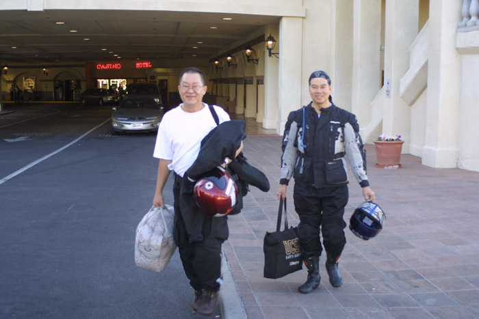
Yup! We're getting out of town.
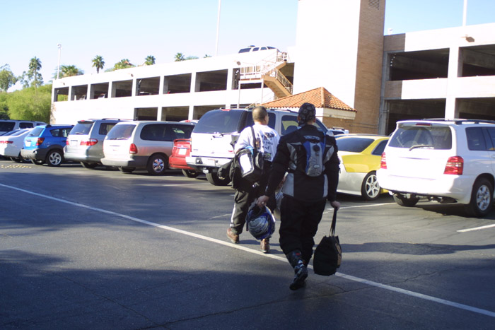
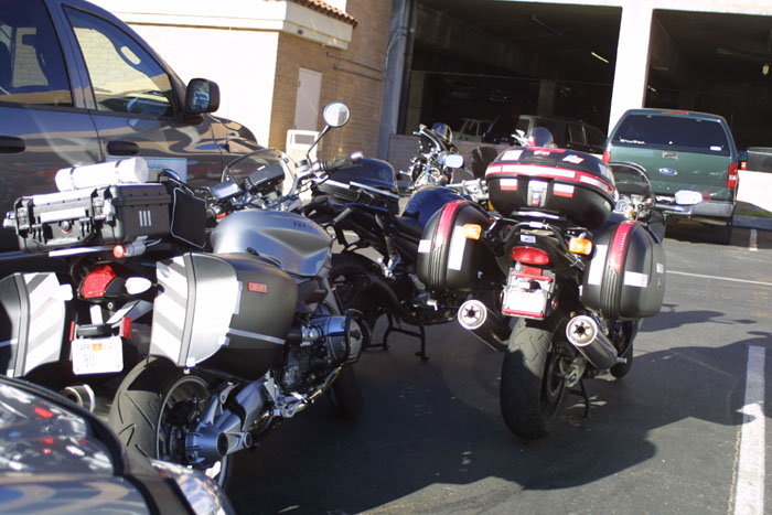
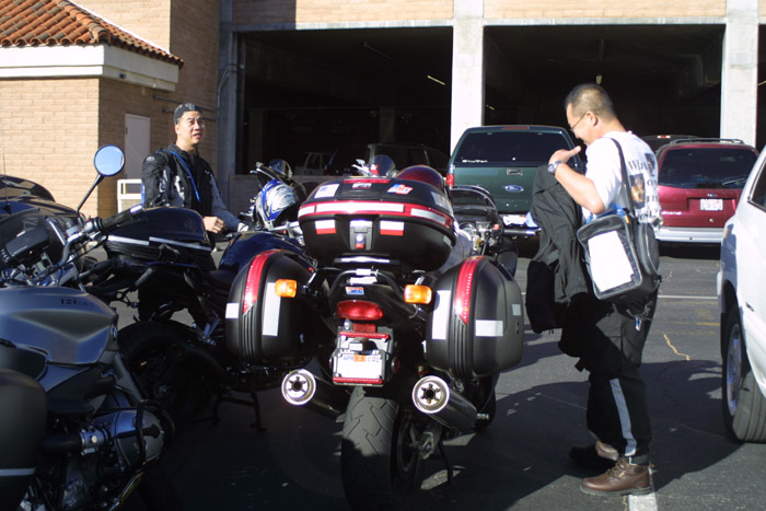
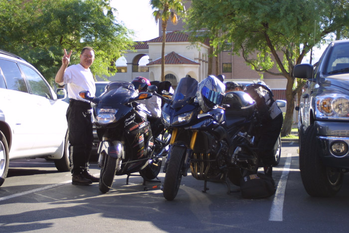
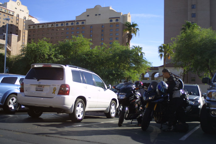
Now where did we park our bikes?
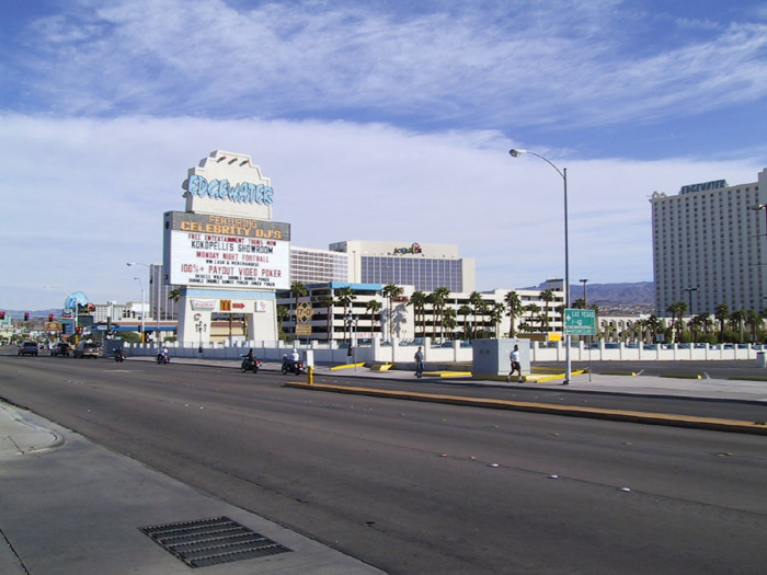
Downtown Laughlin. Nevada side.
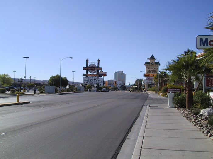
By the time we're done with getting money from the bank and finishing
off breakfast, it's 10:45am. Not good for the plotted course but
it's perfectly fine for the vacation. So we head on out on the 68
highway that will eventually meet up with the 40 freeway. Unlike
yesterday, today is turning out to be quite the windy day. As we
get onto the 68, I'm awe struck by the beautiful scenery coming up in
front of us. The rock formations are just wonderful. I
can't help but notice one particular rock formation. We had to
stop on the side of the highway to take some pictures.
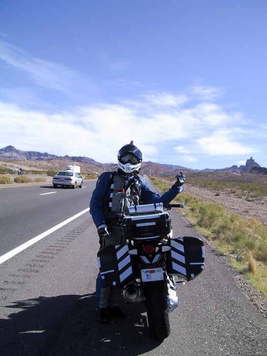
No I'm not flipping off. I'm just copying the mountain.
The 68 highway continues to be a beautiful highway. Once we got
pass the mountains and are heading down towards the valley, it was
obvious there was a sandstorm in front of us. My immediate
thought was, "Oh great, I have to change out oil, air filter, and oil
filter once I get home." It turns out the sandstorm was cause by
construction vehicles stirring up a bunch of sand. The wind
simply
exaggerated the situation. Once I was in the sandstorm, it wasn't
as bad as I had thought it to be. What I'm use to is the
sandstorm Eugene and I experienced back in the '06 Death Valley ride
where we couldn't see any more than 50 feet in front of us. In
this case, visibility was easily 300+ feet. Not a problem.
We begin the final climb on the 68 to meet up with the 40 freeway
passing through Kingman. As we make the final turn to link up
with the 40, there is a sign showing Route 66 at the next Kingman off
ramp. Right there and then, I knew what to do. Minh and I
had made the decision to take as much of Route 66 as possible on this
trip. As a result, we detoured from freeway 40. This will
slow us down but that's OK. We're here for the experience not the
boredom (e.g. freeway 40).
Once we're on city streets Minh asked me, "Is this wind as bad as Death
Valley?" "No, Death Valley was a lot worse." We
continued to Route 66. We passed a park with an old train engine
locked up behind a fence. It looks like there is some type of
local fair going on. There were people all over the place and
cars parked all over the street. We slow made our way to Route
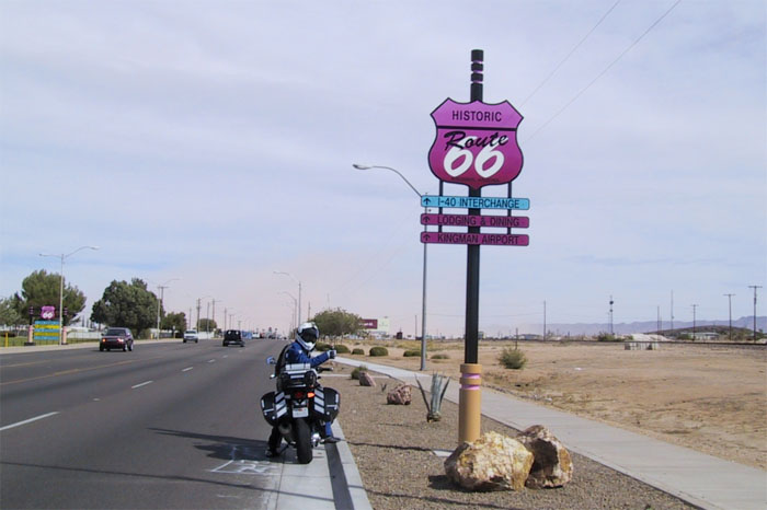
66. Once on the route, I can't help but stop when I noticed a
really cool Route 66 sign.
If you look beyond me and the sign
you'll see a big sandstorm up ahead.
The sky is all tan looking.
As we take leave of the wonder full sign, I can't help but notice, once
again, a huge dust cloud looming in the distance. Perhaps this
one will be the same as the last one. It just looks ominous but
it has not real substance.
It's amazing. I can find them everywhere. Even in
Arizona. What am I talking about? Idiot drivers or drivers
that are so impatient they're idiots. We were at a light waiting
for this 18 wheeler to make it's left turn into a shopping
center. It's taking its time making a left turn because it's
tight where it's trying to go. By the time the big rig made it
through, their turn light has turned red. Well, the RV behind the
truck can't wait for the next light and goes for it anyway. If
that wasn't enough, the small car behind the RV decides he's not going
to wait either. These people know perfectly well their light has
turned red. Still they ignore the traffic light and make traffic
stop anyway. Perhaps they're a bunch of California drivers or
they're also horribly bad drivers in AZ also.
Admittedly the '07 R12R is light years better than the '05 R12GS.
However, I still experience the occasional computer accessory power
confusion. What am I talking about? Sometimes, when I turn
off the R12R, the accessory power remains on beyond the normal several
minutes before the bike computer shuts down all the power for the
bike. When the bike gets into this mode, I have to disconnect
everything attached to the accessory power and wait for a little while
so the computer knows to drop power for everything. If I don't,
the computer mistakenly thinks the power is not on and then shuts the
accessory power off mid ride thinking the accessory power is being
turned on. Yes, it's a mess. Mumble mumble, I had to pull
over not too far after the sign pictures to reset/unconfused the bike
computer. It's also a good opportunity for Minh to take pictures
and ponder the sandstorm he's about to enter.
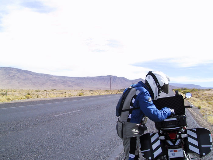
Forever checking to see how much time I have left on the video
equipment.
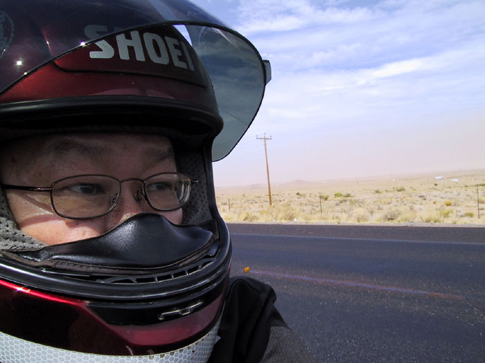
"Should I stay or should I go? If I go, there will be
trouble. If I stay, it will be double."
Yeah, there's plenty of sand up ahead.
The bike computer is all happy and the accessory power is once again
working the way it's suppose to. Left turn signal on and we're
back on the road. The interesting bit is that I'm noticing
there's hardly any wind when we get between 40-45 MPH. It's a
clear sign the wind is blowing about 40-45. Once we reached
50-55, I can once again feel a little wind on my face. At 65-70
MPH, the wind is ever present but it's not as noisy as if we were
driving directly into the wind. It was quite pleasant to not get
that rag doll effect. It was good for about 20 or so miles until
we made a wide sweeping right turn. Next thing we know, the 40-45
MPH tail wind is now a 40-45 MPH crosswind. We are getting blown
to hell and back. Again, remembering the tricks from that Death
Valley ride, I knew I was a big sail catching all this crosswind so I
ducked down to alleviate the situation. At the same time, I knew
Kevin was doing OK because he has a panniers less bike. My rear
view mirror shows Minh struggling a bit because of his full fairings.
When the road finally sweeps left, we're back into the flow and are
once again smooth riding. I know 40 MPH wind is not the same as
60 MPH wind but it's still wind. No matter how you cut it, it
still sucks to that type of crosswind. We make a long series of
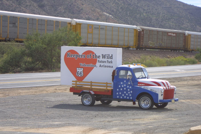
left turns until we reach Valentine. As we keep on going there
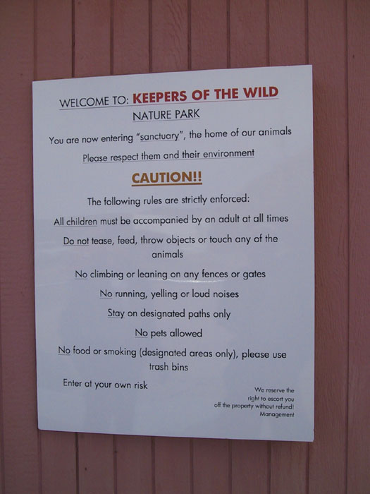
appears to be some kind wild life sanctuary. Typical, we over
shoot the spot and then double back to check it out. We continue
for a while in the wrong direction because it's an up hill and we can't
see on coming traffic to make a safe U-turn. Eventually we crest
and U-turn are abound. I did it with relative ease. So did
Minh. When Kevin was turning around, a gust of wind hit him on
the side and almost made him drop his bike. Fortunately he
managed his composure and kept on truckin'. That would have suck
if we had to park our bikes and help him pickup his bike in the middle
of the road. Luckily it didn't happen and all is well. We
make it to the wild life sanctuary and pulled in. I forgot to
mention heading back in the direction of the sanctuary, we encountered
heavy head winds. Go figure.
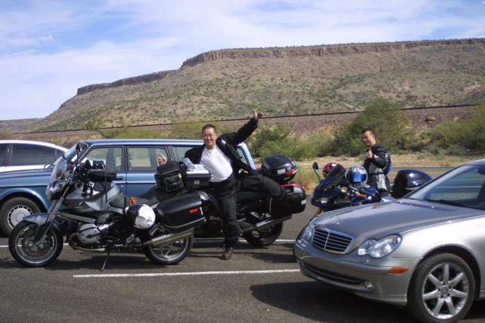
Minh is doing the three limb salute and ...
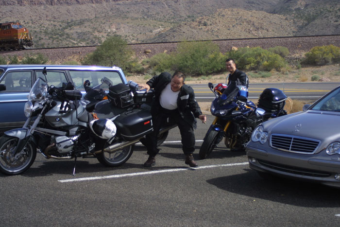
... ended up doing a ...
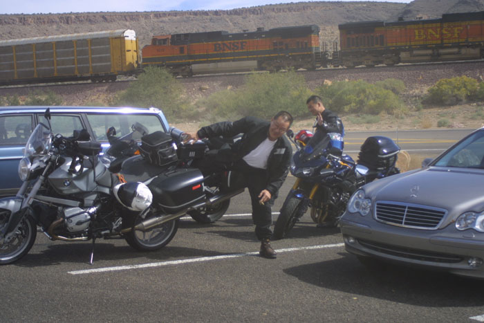
... Sumo dance.
Notice the sandstorm coming back.
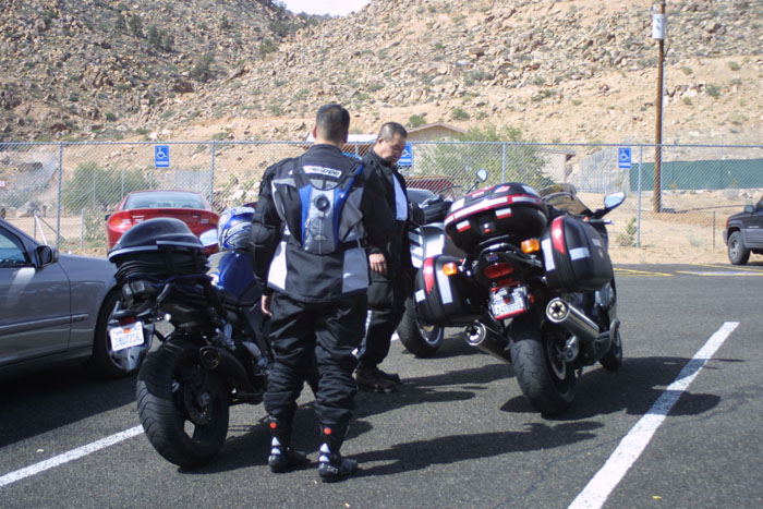
No sandstorm...
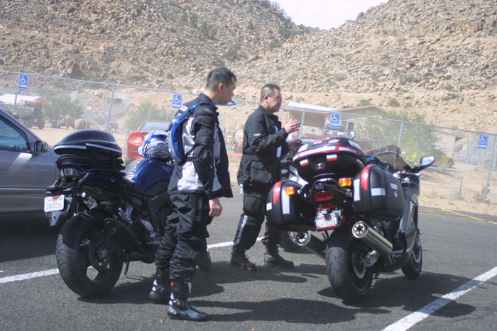
Sandstorm.
We went up to the admissions gate and came to two conclusions: 1) We
don't have enough time to hike around the park, 2) it's hella expensive.
As a result, we opted to rummage through the gift shop to see if we can
buy something for the family. I bought some T-shirts, a cap, and
a beaver. Yes, I said beaver. It's a little furry stuffed
animal. What am I going to do with a beaver? Don't
ask. You can insinuate. Unfortunately, I don't get to keep
the wondrous beaver. It was stolen from me when I got home, but
that's a different story. Kevin also bought a cap. We
milled around a bit more with Coke in one hand and another soda in
another hand. As we were getting ready to head out on the road
again, I told Minh, "I don't think we'll make it to Meteor
Crater. It's probably best that we skip that and head straight to
Sedona from Flagstaff." Minh agreed so we trimmed this part from
the route.
By the time we got back on the road, the wind has died down.
However, we're confronted with a heavy cloud layer. Rain clouds
for that fact. I was a bit concerned that it is going to dump on
us. Fortunately it never happened. As we make another long
sweeping right turn, the valley opens up in front of us. A glance
back towards the mountains show the clouds dumping it load in the
foothills. That's a good sign because that mean it's going to let
out its moisture there and not here.
As we make our way into the Hualapai Indian Reservation, we are greeted
with a caravan of classic cars on the opposite side of Route 66.
They initiated the wave and I politely waved back. However, I
continued the wave until the very last car. Some of the drivers
are probably wondering why I was waving. That's OK. The
cool thing is the last car understood exactly what I'm doing and
everybody in the car is frantically waving back. It's cool to see
nice people on the road. Even if only for a hello wave.
It's really cooling off. The heavy clouds over head is causing
the temperature to plummet. The original 80+ degrees dived into
the 60s. After a while I couldn't stand the cold any more so I
pulled over and signaled to all that I wanted to add more layers.
I pulled out my heavy fleece and on it goes. While we were on the
side of the road, busily adding more clothing, a young Indian kid
(approximately mid or early teens) approached Kevin and started talking
to him. I can't hear what was being said so I continued with my
robing. Next he went to Minh. Lastly he made it to
me. He was dirty and he was slurring his words. He asked me
if he can hitch a ride to Tucson. I told him I don't have room
because I'm full up with gear. Minh later told me that he was
stinking of alcohol. We got back on the bike and left the kid
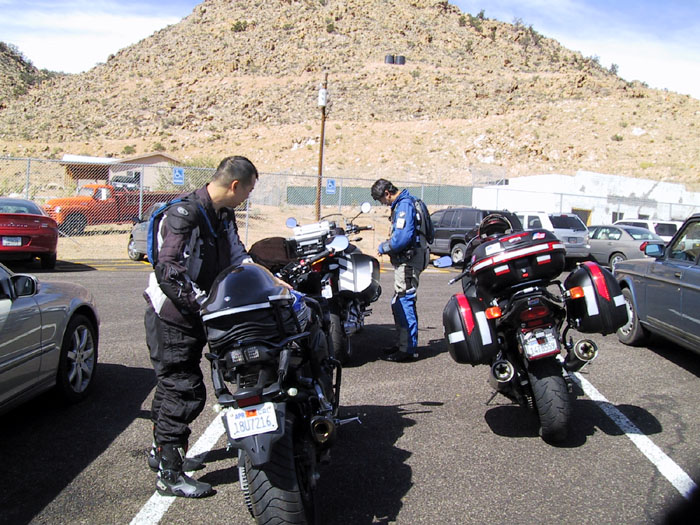
behind. When we reached Peach Springs, I had to pull to the side
of the streets as there are some really cool old abandon
structures. The town is still alive but there are businesses that
have long since passed on.
Forever playing with the video
equipment.
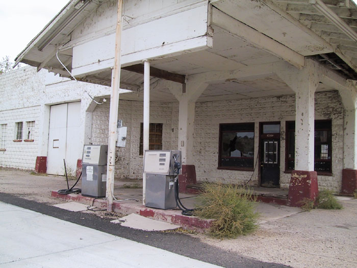
Check out this old abandoned gas station.
As we reach the Grand Canyon Caverns, the wind is picking up
again. Because this section of Route 66 is perpendicular to the
wind, we are blown all over the place, once again. I duck down
for a while but eventually gave up and just sat up right. Hey,
it's not so bad after all. At the outskirts of Seligman, we
encountered the far and few in between sport bike group. It was a
nice surprise from the constant Harley swarms we were seeing.
At long last, after 150 miles on Route 66, we pull over for some fuel
at the Seligman Arizona Route 66 Texaco gas station. From all the
along the wind riding business, I tried to bet with Minh that we're
only going to need 2.5 gallons to top off the bikes. Minh was
smart in not betting against me. However, I would have lost the
bet with Minh's bike but would have won when compared to Kevin's and my
bike. I put in an entire 2.55 gallons and Kevin put in 2.6
gallons. It goes to show that riding along with the wind is a big
plus. Not only in fuel savings but also in noise reduction.
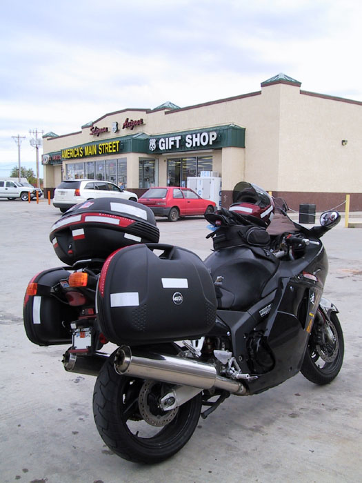
Minh's Glamor shot.
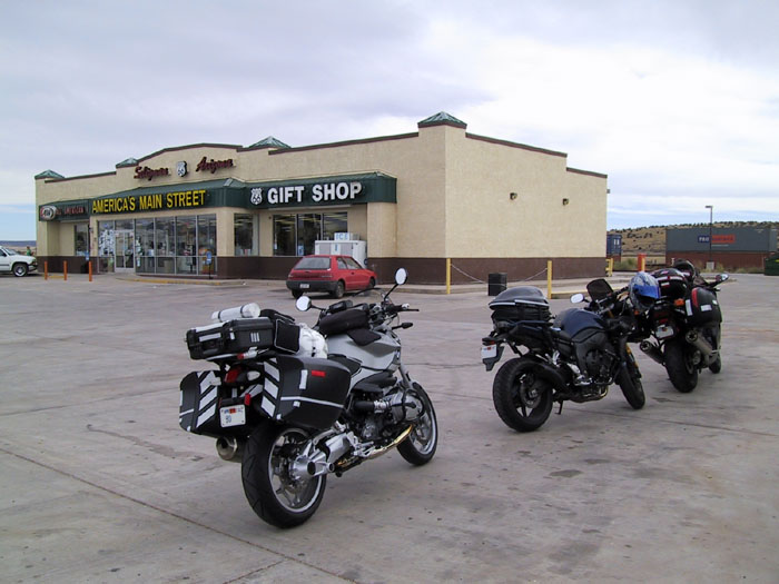
Unfortunate, but it was bound to happen. Route 66 ends and we
merge onto Freeway 40. Now that we are in the real heart and guts
of the freeway, we're amazed. The sign show the speed limit is 75
MPH. That's cool and all, but the thing that is different here,
compared to California, is the speed limit applies to all
vehicles. This means big rigs are allowed to travel at 75 MPH
also. That's crazy. What's even more crazy is the notion of
a big rig going 75-80 MPH in this crazy wind. California allows
passenger vehicles to drive at the high end of the spectrum but the
truckers are required to stay at 55 MPH for safety reasons. So
this was a big shocker when we're ride at 80 MPH and can't seem to pull
away from a big rig that is tailing Kevin. Eventually Kevin shots
up next to me and request that we zip on by to get away from the crazy
trucker. As soon as Kevin got up to my position I knew exactly
what he's trying to tell me. Sure thing. I'll oblige that
request. Part of the reason why I'm consenting to Kevin's request
is because I've been looking back to see if the trucker is harassing
Kevin. Sure enough he is. We speed up and put some distance
between us and the trucker. However, this doesn't do a whole lot
of good. Why? Because there are a bunch of trucks on the
road and they're all pretty much driving between 75-80 MPH.
That's nuts. I don't know about you but I'm not one to argue with
something that is more than 10 times bigger than I am and more than 10
times heavier than I am. I'm just a little annoying gnat to these
trucks. It's in my, Kevin, and Minh's best interested to either
go fast to get away from the truckers or just simply let them
pass. We just have to make sure to let them pass quickly. I
don't want to linger within their slip stream and end up getting sucked
in under the wheel. I don't play tortilla very well.
We pulled off a couple more times while traveling on freeway 40 for
restroom and coffee breaks. Eventually we reach Flagstaff.
The sign says 7000+ elevation. Wow! This is not too far
short of Mammoth Lakes. The difference between the two? Not
a whole lot. Flagstaff looks very similar to Mammoth with the
exception that it's much bigger in size and population. You get
similar pine trees and wooded areas. We pass through Flagstaff
and get ourselves onto the 17 freeway to take the highway 89-Alt.
It's good that we have made it this far. It's bad that it's 4:30
and the sun is starting to go down. Bummer. I really wanted
to have a good look at Sedona and all the red rock formations.
Once again we stop on the side of Hwy 89-Alt so I can add a pair of
fleece pants and to change our dark face shields to clear
shields. Yes, it's cold at 7000+ feet.
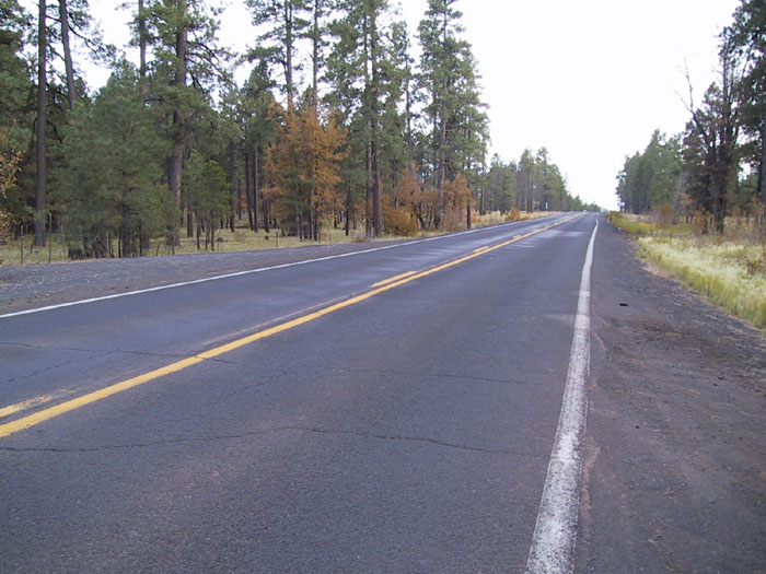
Hwy 89-Alt, ahead of us.
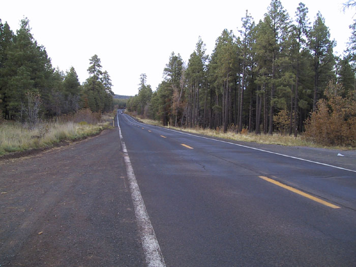
Hwy 89-Alt, behind us.
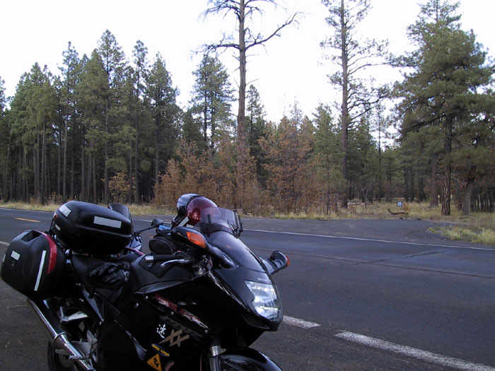
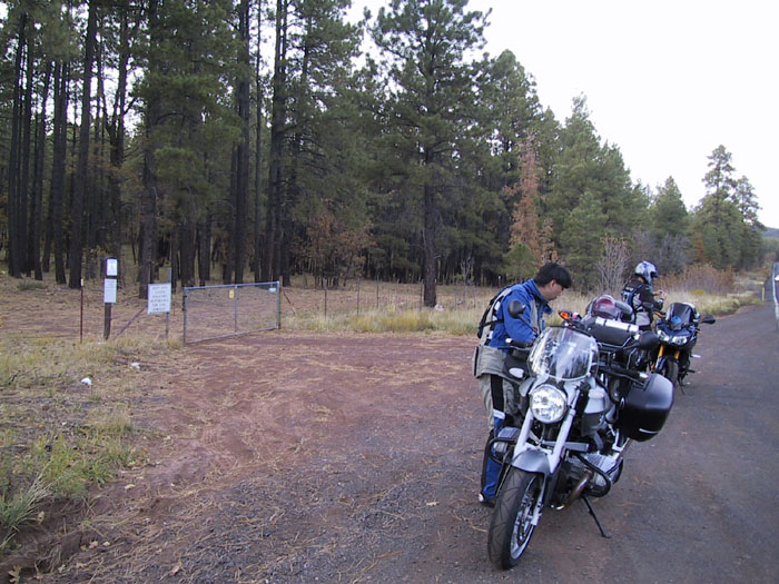
The image makes the scene a lot brighter than it really is.
Helmet cam and rear view cam on. Here we go.
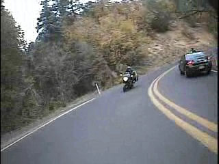

I should have cleaned the lens before taping.
A bug decided to deposit it's carcass there.
(The Sundays - Summertime)
As we make our way down the mountain side I can't help but be struck by
three things:
- The view is simply spectacular
- It is definitely autumn because the leaves are all yellow and red
- This road is remarkably like Yosemite
To the people of Arizona ,especially the Sedona region, please don't
take offense at the comment. It is just a matter of life
experience. Everyone of us has to have a foundation to stand
on. As a result, we make comparisons to the things that we know
as a means of evaluating the situation. Despite the fact I'm
making the comparison between Sedona and Yosemite, the two places are
very different and have their uniquely beauty. There is nothing
like the cliffs of Sedona in Yosemite. Likewise there is not a
rock in Sedona that looks like half dome. The red rocks tower
above us and dwarf any man made structure that you might want to
compare to nature's splendor.
It's dark and it's dinner time. Any thoughts of not riding
in the dark is dashed. Oh well, we just have to make
due. We were fortunate enough to find a parking space when we
needed one. It took us 1 hour to go from Flagstaff to
Sedona. It probably could have been done in less time.
However, because of the road construction and the Halloween party in
Sedona, traffic was at a stand still for a good 3-4 miles. By the
time we turned off the engine, our hands, wrists, and arms are aching.
While we were scooting ourselves into town, I spotted a cafe that
looked like a good spot for eating. It looked like a restaurant
but ended up being a food court. Oh well, too late to reconsider
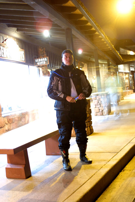
as we have already made the hike here. Kevin and I had a Philly
cheese steak sandwich while Minh chowed down on a large small
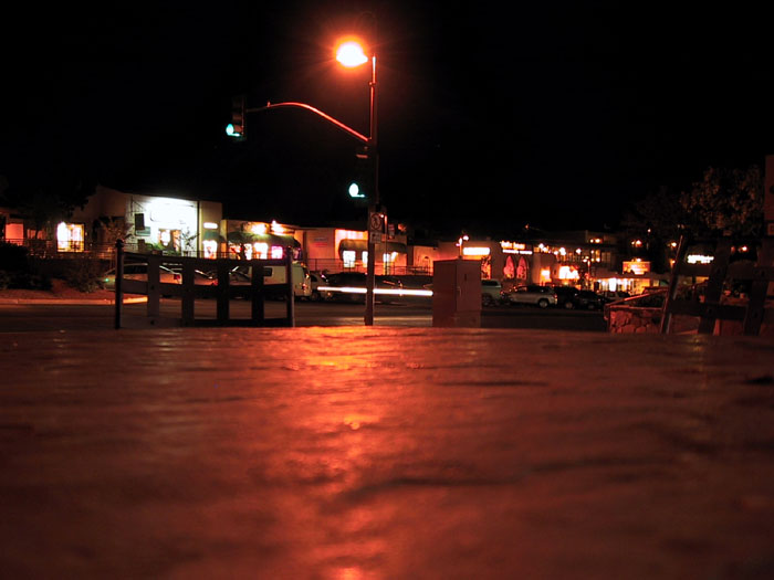
pizza. Once done we all messed around with our cameras trying to
take a good bulb picture. All mine turned out blurry. Minh
made a couple of successful shot but he cheated. He used the
timer and a table to pull off the shots.
At this point I know we are decently close to Prescott but I have no
idea what the number is. So we continued on with the highway road
instead of taking the 17 freeway. Is this a mistake?
Perhaps. Perhaps not. It's all relative.
We keep moving. We can't really make out north, south, east, nor
west. It's dark. At least the PIAA R11 bulbs are doing
their job. I'm on my low beam and cars occasionally flash me
thinking I'm on high beam. One flash and there is no
challenge. The road winds back and forth. The higher we go,
the more the road bends. I'm thinking to myself, "It's a shame
that we're taking this road in the dark. It must be a spectacular
view during the day." A slow car in front of us didn't help the
situation.
At last, Jerome.
Interesting. The road is small and getting smaller. The
streets are confusing. The GPS tells me to go up a one way
street. This is no typical American city. It's looks like
I've stumbled into Europe. In order for us to progress further up
the city, we have to go towards the end of the street and literally
take a switchback to the next level of roads. As we make our way
through the city, we ride next to stone walls which are the foundations
for the houses above. Minh later claims that we're in
Italy. For me I'm thinking we're in France somewhere. I
don't know who originated this town but they must definitely have a
European heritage. According to Wikipedia, Jerome was
once part of New Spanish before Arizona became a part of the United
State. Unfortunately, we're riding around town in the dark.
I can't see anything. All we can see are the small little areas
the street lights reveal, and the surface of the road and the side of
the walls our headlights are shinning upon. While we're making
our run, I can't help but notice ghosts, goblins, vampires, and ghouls
walking around town. It seems like Jerome is celebrating
Halloween also. They're a bit early but that's OK.
We continue up the road until we leave the city of Jerome driving right
pass the Jerome State Historical Park. Too bad we're so short on
time. The dark doesn't help the sight seen bit at all. We
push through the remaining sections of the 89-ALT highway. I
slowed down at spots to allow Kevin to catchup to Minh and
myself. The road turns and winds, and it turns and winds some
more. It seems we're forever climbing uphill and will never
descend again. Eventually it levels out and gravity is speeding
us downhill. It's late and I still don't know how far we have
left. Once the mountains are behind us, I can see the shimmering
lights of Prescott Valley ahead. I sigh a bit as I know we're
much closer to our destination.
Eventually the 89-ALT slams into the 89 highway. Once it does, we
take the 89 south to get to Prescott. It isn't too much longer
that we found our hotel/motel and check in for the night. By the
time I turned off my engine to go check in, it's about 9:45pm.
I'm tired and need a shower. It's been a long day and a long
ride. It's unfortunate that we ended up missing a good part of
Sedona and Jerome. It would have been good to spend a little more
time milling around those places. At least we got a taste of what
this part of Arizona is like. It's very likely we will detour to
Sedona and Jerome next year when we go to the Grand Canyon.
Prep work
Day 1 - The mother road
Day 3 - Should we pray to the wind god?
Day 4 - Firestorms at home
Written on: October 26, 2007
Last modified: November 3, 2007


